
Oswego County New York Land Cover Map — From Lake Ontario Settlements to a Forested, Wet Interior
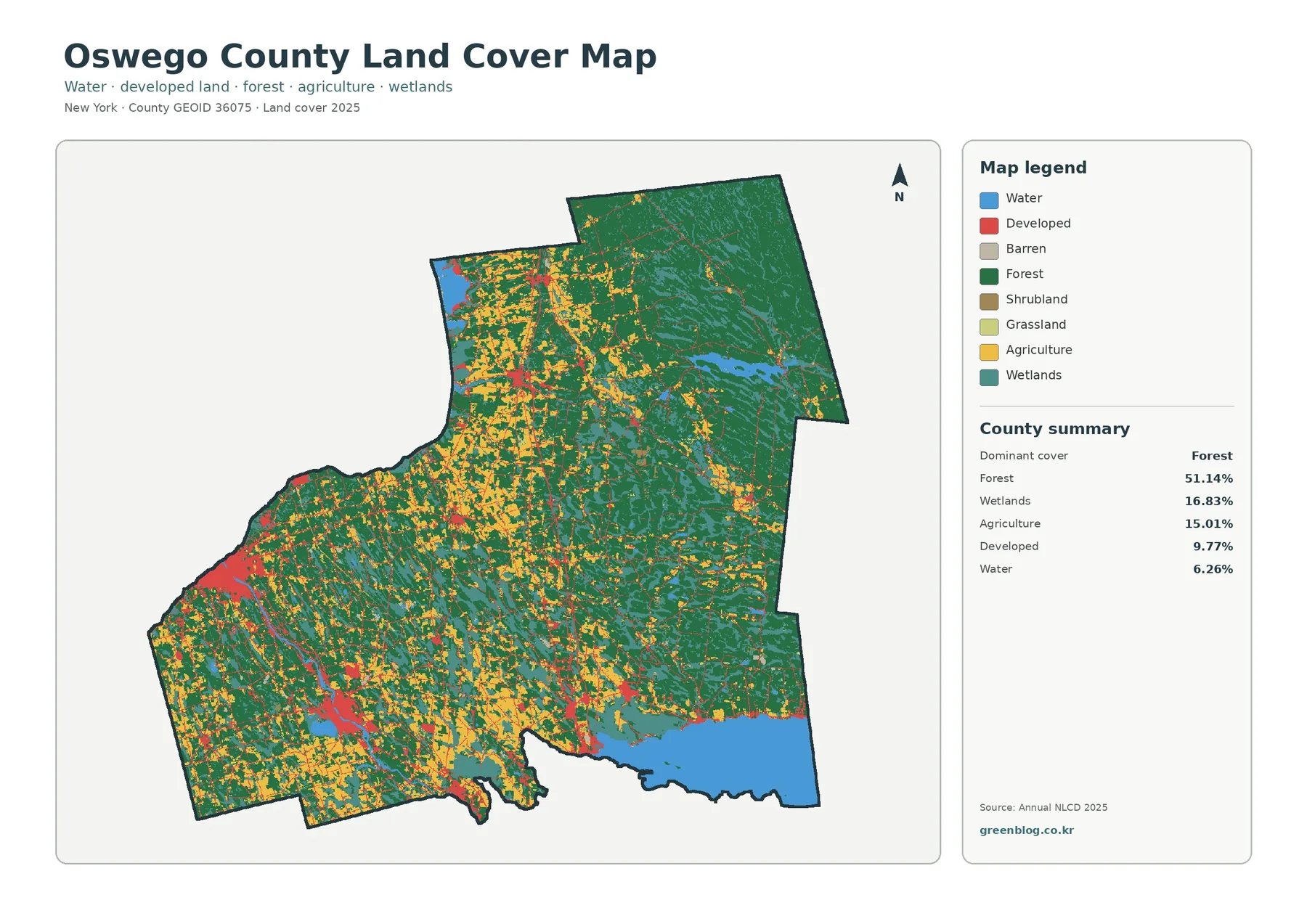
Forest is the dominant 2025 land-cover class in Oswego County, accounting for 51.14% of the mapped area. Wetlands add another […]
Forest is the dominant 2025 land-cover class in Oswego County, accounting for 51.14% of the mapped area. Wetlands add another […]