
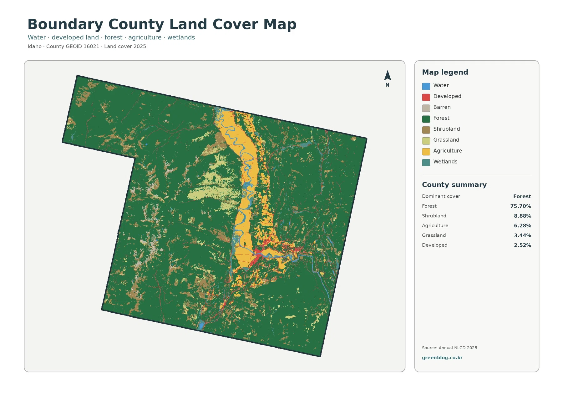
Boundary County Idaho Land Cover Map | Kootenai Farm Valley Between Forested Mountain Blocks
Boundary County’s 2025 land-cover pattern is dominated by forest, which accounts for 75.70% of the supplied summary. The main exception […]
Boundary County’s 2025 land-cover pattern is dominated by forest, which accounts for 75.70% of the supplied summary. The main exception […]