- 버전
- Download 0
- File Size 2.55 MB
- Create Date 2025년 10월26일
- Download
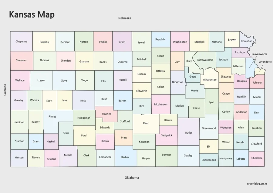
kansas Map information
Kansas is a landlocked state located in the central United States, often referred to as part of the American Midwest. Its capital is Topeka, and the largest city is Wichita. The state is known for its vast prairies, agricultural productivity, and historical significance in the westward expansion of the United States. Kansas played an important role during the Civil War era, especially in the conflict known as “Bleeding Kansas,” which shaped the nation’s stance on slavery.
The economy of the state is largely based on agriculture, producing wheat, corn, soybeans, and cattle. In addition to farming, the state has industries in aviation, manufacturing, and energy production. With its open landscapes, small towns, and friendly communities, Kansas represents the heartland spirit of America and continues to be a symbol of resilience and simplicity.
This image is available for free download and is designed for various creative or informational uses. The colors are set in CMYK format, making it ideal for high-quality printing.
It can be used for educational materials, presentations, or graphic design projects. Since the file is provided in high resolution, it’s suitable for both digital use and large-format prints.
- File Size: 2.55MB
- Size: 4961X3508
- Programs: Photoshp, Illustrator
▶ iraq Map Large Size Free Download