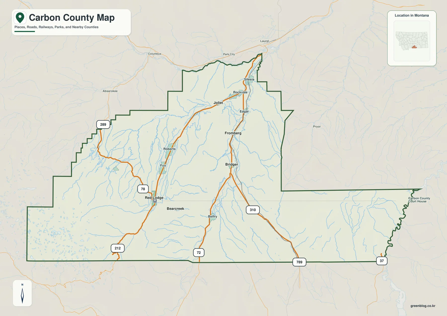
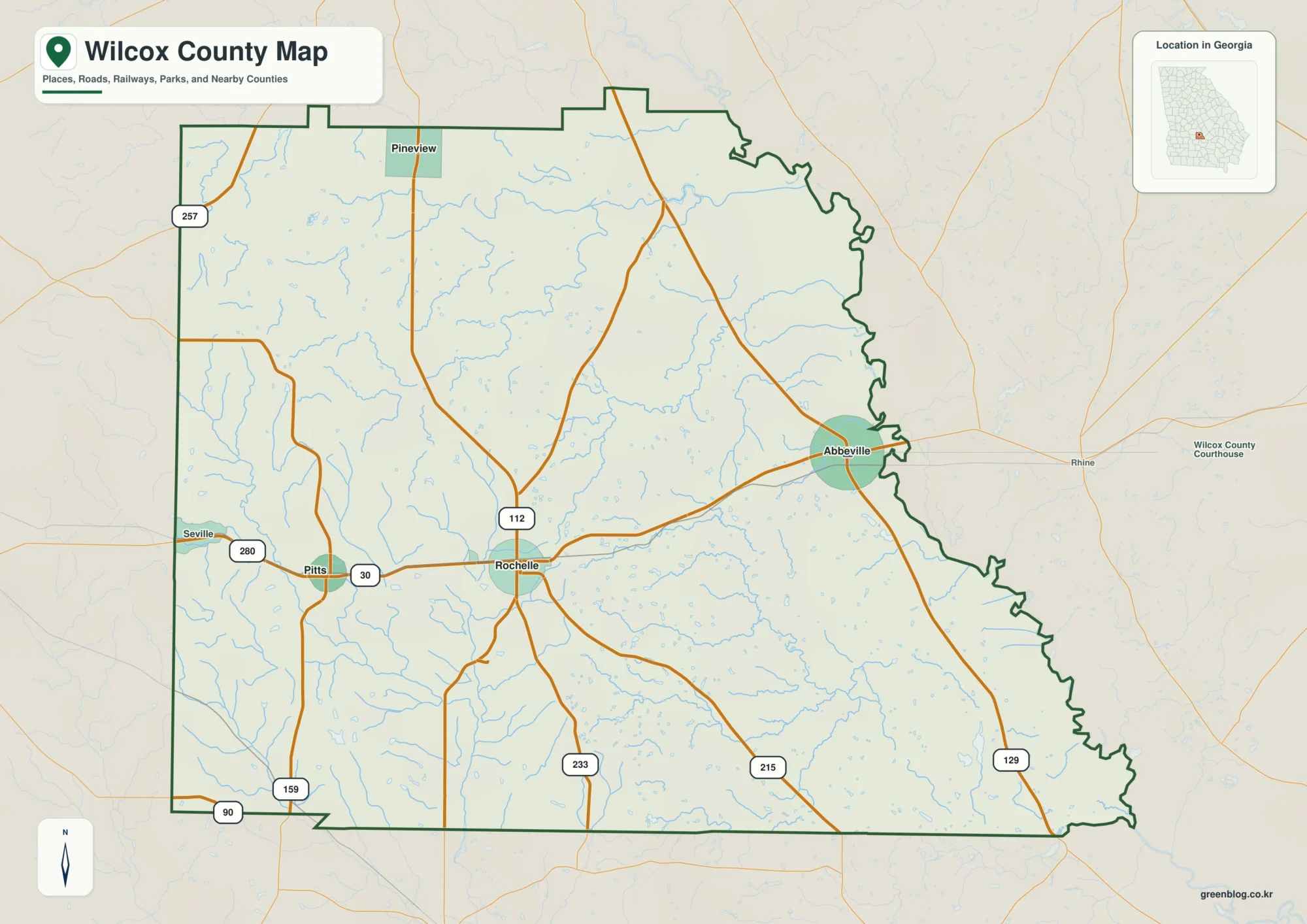
Wheeler County sits in north-central Oregon, where three small incorporated communities are separated by long stretches of rugged hills, narrow valleys, and deeply cut drainage networks. Fossil, the county seat, is in the northwestern part of the county; Mitchell is farther south near U.S. 26; and Spray lies to the east near the John Day River. Looking at roads alone does not fully explain how these places relate to one another, because the terrain strongly shapes the routes that connect them.
This page brings together a county boundary and road map, a city-connections map, a terrain-and-water map, and an elevation map. The same four maps are also available as high-resolution JPG files in one downloadable ZIP, making them useful for printing, classroom work, trip planning, and regional comparison. Each map emphasizes a different part of Wheeler County, so the best choice depends on whether you need settlements and roads, relative city positions, waterways, or elevation.
Table of Contents
A county organized around three small towns rather than one continuous corridor
Wheeler County has an irregular outline, with pronounced bends along the western edge, a stepped northeastern corner, and a narrow southern extension. Inside that boundary, the principal towns do not form one compact urban cluster. Fossil occupies the northwest, Spray sits in the eastern interior, and Mitchell is positioned well to the south and west. This dispersed pattern is important because many trips cross substantial areas of canyon and upland country before reaching another town.

On the general map, Fossil connects to Oregon Route 19, while Mitchell is located near the meeting of U.S. 26 and Route 207. Spray appears on the eastern side near roads that follow the John Day River corridor. Route 218 reaches the western boundary, Route 25 appears in the north and east, and route shields for 12 and 38 are visible in the southeastern extension. Rather than a dense grid, the county has a relatively small number of through routes with local roads branching into the surrounding valleys and uplands.
The blue drainage lines explain why open-looking spaces on a road map are not simply empty land. Numerous small creeks descend through the hills, and ridges separate one drainage from another. A place that looks close in a straight line can require a much longer road trip around slopes or along valley floors. For a sparsely settled county with strong relief, reading roads together with terrain is much more informative than looking at the boundary alone.
Fossil as a reference point for Mitchell and Spray
The city-connections map simplifies the county by using Fossil as the hub and comparing its position with Mitchell and Spray. The labels show Mitchell at about 30 miles from Fossil and Spray at about 24 miles. These are straight-line distances between the mapped points, not driving distances. That distinction matters in Wheeler County because winding roads, river valleys, and elevation changes make actual road travel longer than a direct line suggests.

The surrounding county labels add broader orientation. Gilliam County is shown to the north, Crook and Jefferson counties to the west, Grant County to the east, Wasco County to the southeast, and Sherman and Morrow county labels appear toward the south and southwest margins. The connections map is not intended to replace a detailed road atlas, but it quickly shows how Wheeler County’s three incorporated cities are spread across a large interior landscape rather than grouped along a single metropolitan axis.
County information published by Wheeler County describes Fossil as the northern gateway, Spray as an eastern community tied closely to the John Day River, and Mitchell as a base near Highway 26 and the Painted Hills area. That description fits the mapped pattern well. It also helps explain why each community functions as a distinct local center even though the county’s total population is small. When planning travel, use this city map for orientation and then check current road conditions and routing for actual mileage and travel time.
The John Day River cuts through a dense network of creeks and canyons
The terrain-and-water map makes the John Day River the dominant feature. It winds across the central part of Wheeler County while many shorter tributaries descend from higher ground on both sides. Shaded relief gives those blue water lines geographic context: streams occupy narrow valleys, ridges stand between neighboring drainages, and the river follows a lower corridor through an otherwise rough landscape. This relationship between water and relief is one of the defining visual patterns of the county.

Several named features help organize the map. Buckhorn Creek and Wineland Lake appear in the north, Pine Creek is labeled in the west, and Rowe Creek Reservoir lies farther south. Below the John Day River, Bridge Creek and Bear Creek drain part of the western interior. Tamarack Creek and Johnson Creek descend through the eastern side, while Mountain Creek and Rock Creek appear in the south together with Rock Creek Lake and the City Reservoirs label. The many smaller unnamed branches show that the mapped waterways are part of a much finer drainage network.
Wheeler County’s own public information identifies the John Day River as a major natural and recreational feature, and the county is also associated with the John Day Fossil Beds landscape. This map, however, is a geographic water-reference map rather than a flood, parcel, legal-boundary, or navigation product. It can show where mapped rivers, creeks, and reservoirs sit relative to the terrain, but flood safety, water rights, boating conditions, and legal questions require current information from the responsible agencies.
A sharp elevation contrast from lower river valleys to southern high country
The elevation map shows how strongly relief varies across Wheeler County. Its legend gives an overall mapped range of roughly 346 to 2,091 meters, with a mean of about 1,131 meters. Greens mark lower areas while tan and brown represent higher ground. Lower terrain is especially visible in the northwest and along portions of the John Day River corridor, while broad areas of the south and southeast rise into much higher ridges and mountain slopes.

The southern boundary contains some of the darkest high-elevation colors on the map, and the southeastern extension also stands well above many northern valleys. Isolated higher ridges appear through the center, while the John Day River traces a lower band across the county. Comparing this map with the road map helps explain why many routes bend through valleys rather than crossing the relief in straight lines. It also shows that Fossil, Mitchell, and Spray occupy different topographic settings even though all three are within the same county.
This elevation surface is generalized for county-scale reference. It is useful for recognizing relative highs and lows, major ridges, and broad valley systems, but it is not survey-grade or engineering-grade elevation data. Individual property elevations, construction design, drainage calculations, and legal survey work require more precise source data and site-specific measurement. For ordinary map reading, though, the color and shaded relief make the county’s rugged character immediately understandable.
What becomes clear when the four maps are read together
Taken together, the maps show a county whose settlement pattern is inseparable from its terrain. Fossil serves as the county seat and a northern road center, Spray is closely tied to the John Day River corridor, and Mitchell anchors the southern and southwestern approach near U.S. 26. Between those places are not broad flat plains but repeated ridges, tributary valleys, and elevation changes. The basic road map gives the framework, while the water and elevation maps explain why that framework developed in such a dispersed form.
Oregon’s state reference material describes Wheeler County as exceptionally rugged, with landscapes ranging from sagebrush and juniper country to stands of ponderosa pine and Douglas fir. It also highlights the area’s fossil resources and the Clarno and Painted Hills units associated with John Day Fossil Beds National Monument. Not every natural or cultural site appears on these maps, but the mapped combination of sparse towns, the John Day River, steep tributary valleys, and high southern terrain provides a strong geographic foundation for understanding that broader landscape.
Choosing the right Wheeler County map for a specific task
Use the county map when the main question is where the boundary, towns, roads, and major streams lie. Choose the city-connections map when you want a quick comparison of Fossil, Mitchell, and Spray, remembering that its mileage labels are straight-line distances. The terrain-and-water map is the best of the four for following the John Day River and named tributaries through the canyon landscape, while the elevation map is the clearest choice for comparing lower valleys with higher uplands.
The same distinction helps when preparing printed materials. A road-and-settlement overview works well for orientation, the connections map is compact for explaining relative city positions, the water map supports lessons about drainage and canyon geography, and the elevation map is visually effective for terrain discussions. All four are reference maps rather than substitutes for official legal, engineering, flood, or navigation products. For decisions that depend on exact boundaries or measurements, consult the underlying authoritative data and the appropriate public agency.
Frequently Asked Questions
Are the Fossil-to-Mitchell and Fossil-to-Spray distances driving distances?
No. The city-connections map labels about 30 miles from Fossil to Mitchell and about 24 miles from Fossil to Spray as straight-line distances between the mapped points. Actual road mileage can be substantially longer because Wheeler County’s routes follow valleys and wind through rugged terrain. Use current road routing for travel planning rather than treating the connector labels as highway mileage.
Which map is best for following the John Day River and its tributaries?
The terrain-and-water map is the best choice. It combines the John Day River with named creeks such as Buckhorn, Pine, Bridge, Tamarack, Johnson, Mountain, and Rock Creek, along with selected lakes and reservoirs. Shaded relief makes the surrounding canyons easier to understand. It is a reference map only and should not be used as a flood-risk, legal water-boundary, or navigation chart.
What is the main pattern on the Wheeler County elevation map?
The clearest pattern is the contrast between relatively lower terrain in the northwest and along parts of the John Day River corridor and much higher ground across the south and southeast. The map legend spans roughly 346 to 2,091 meters. Those values are appropriate for county-scale comparison, but the generalized surface is not precise enough for surveying, construction, or site-specific engineering.
Map File Information
The four high-resolution JPG maps used on this page are provided together in one ZIP archive.
- Included Files: Use only the versions confirmed in the article and supplied images
- File Type: Use the confirmed download contents
- Intended Use: Printing, education, presentations, and map-based projects
Related Maps
Sources and references
- Wheeler County official website – history and communities
- Oregon Secretary of State – Wheeler County
- U.S. Census Bureau TIGER/Line Shapefiles
- USGS National Hydrography
- USGS 3D Elevation Program
Green Map creates custom-edited map images using open geographic data sources such as geoBoundaries, Natural Earth, OpenStreetMap, and government open data. These maps are edited visual materials, not raw data files, and are provided for education, documents, presentations, and graphic reference.