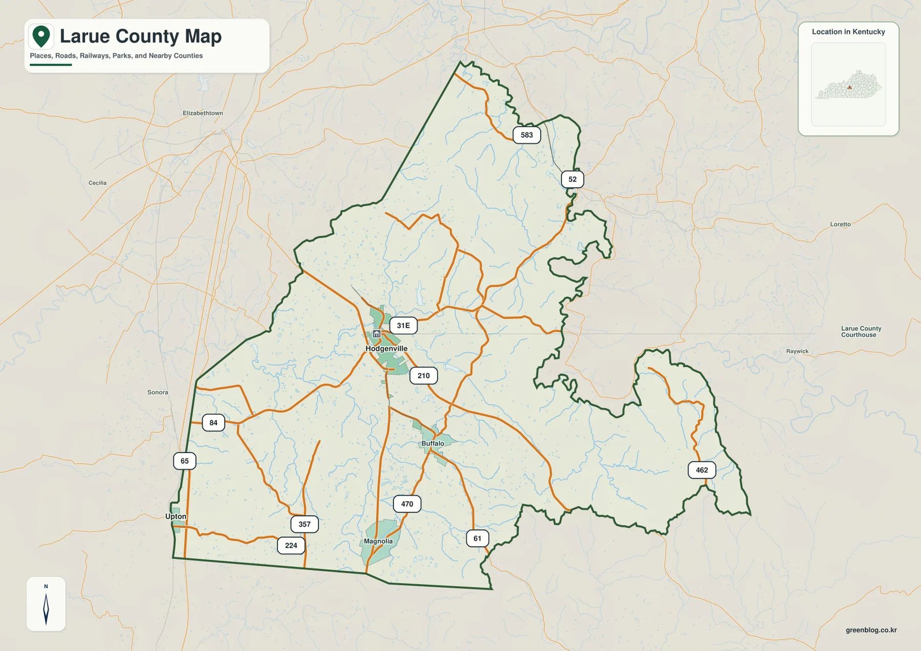
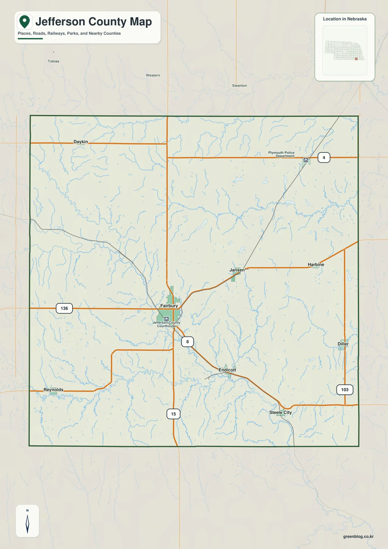
Polk County in northwestern Oregon spans two very different landscapes. Dallas, Monmouth, and Independence sit in the lower eastern part of the county near the Willamette Valley, while Falls City and the western back roads lead into the more rugged foothills and ridges of the Coast Range. Portions of Salem and Willamina also lie within the county boundary. This page brings those places together with major roads, waterways, and elevation, and the four high-resolution JPG map files used here can be downloaded in one ZIP.
A useful way to orient the county is to start with Oregon 22. It runs from Dallas through Rickreall toward Salem and provides a clear east-west reference across the more settled part of the map. Oregon 99W and Oregon 51 help locate Monmouth and Independence farther south, while Oregon 223 and smaller roads reach toward Falls City and the western hills. The Willamette River forms much of the eastern edge, so the county changes quickly from broad valley country in the east to dissected forested terrain in the west.
Table of Contents
Dallas, Monmouth, and Independence anchor the eastern half
The general county map places Dallas slightly east of center, with Oregon 22 continuing through Rickreall toward the Salem area. Dallas is the county seat, and it is the most prominent inland place name on the sheet. Monmouth and Independence lie southeast of Dallas and very close to one another, creating a compact pair of communities in the low Willamette Valley side of the county. The Oregon Blue Book lists Dallas, Falls City, Independence, Monmouth, and portions of Salem and Willamina within Polk County.
The eastern boundary is irregular because it follows the Willamette River and the edge of the Salem area rather than a simple straight line. Rickreall and Eola appear between Dallas and the river, while Oregon 51 connects the Independence area northward toward Rickreall. Oregon 99W provides another north-south reference through the Monmouth-Independence area. Taken together, the road and place labels make it clear that most of the county’s larger communities are concentrated on the lower eastern side rather than spread evenly across the entire county.
Travel west and the map changes noticeably. Falls City is separated from the eastern group and sits much closer to the Coast Range foothills. Oregon 223 and Oregon 194 cross more rolling terrain around this part of the county, and local roads become curvier as valleys narrow. Farther northwest, Grand Ronde and Willamina are near Oregon 18 along the northern edge. The sheet is especially useful for comparing the open road pattern of the valley with the more constrained routes that enter western hill country.

Four major city markers show a strong east-side concentration
The ranked city map highlights Dallas, Monmouth, Independence, and Falls City. Dallas has the largest marker and sits north of the closely spaced Monmouth and Independence pair. Falls City is much farther west, separated from the other three by a broad area of smaller roads and increasingly rugged terrain. The arrangement makes the settlement pattern easy to understand even without detailed highway labels: Polk County’s principal urban places are concentrated toward the eastern valley, with Falls City standing apart near the western foothills.
The population values printed in the city index should be treated as a snapshot from the source data used when the map was produced, not as a replacement for the latest official population estimates. Current counts and growth figures should be checked with the U.S. Census Bureau or current local records. The geographic relationship among the cities is more durable. Monmouth and Independence remain a close pair, Dallas is nearby to the northwest, and Falls City occupies a distinctly different setting at the edge of higher terrain.
The ranked sheet is intentionally selective. It does not present the Polk County portions of Salem and Willamina as separate major-city markers, even though the Oregon Blue Book notes that parts of both cities lie inside the county. Readers who need complete municipal boundary detail should therefore use the general county map together with authoritative boundary data. For a quick comparison of the county’s four main internal city centers, however, the ranked map removes extra detail and makes the east-west contrast especially clear.

Rickreall Creek and the Luckiamute system descend toward the Willamette
The terrain-and-water map is dominated on the eastern side by the Willamette River. Inland from it, Rickreall Creek crosses the central part of the county, while the Luckiamute River and Little Luckiamute River occupy a large southern drainage. As the streams approach the valley, the shaded relief becomes smoother and lower. Their headwaters and tributaries to the west are set among more closely spaced ridges and valleys. That relationship helps explain why the larger towns are mostly on the lower eastern side rather than deep in the western hill country.
Several smaller mapped water bodies appear around the central and eastern portions of the county, including Reimer Reservoir, Morgan Lake, Ediger Reservoir, and Hayden Lake. The South Fork Siletz River also appears near the western side, showing that the Coast Range contains drainage divides rather than sending every stream toward the Willamette. This is one of the useful details of the water sheet: it does not reduce Polk County to a single river basin but shows how ridges separate neighboring stream systems.
Luckiamute State Natural Area provides a real-world example of the lowland river environment near the southeastern side of the county. Oregon State Parks describes the area along the Luckiamute and Willamette as floodplain habitat with wetlands, old channels, and river access. The map is appropriate for locating these broad hydrographic relationships, but it is not a flood-hazard map, a real-time river gauge, a water-rights record, or a legal shoreline survey. Those questions require current information from USGS and the responsible state or local agency.

Low Willamette Valley ground rises sharply into the western Coast Range
The elevation map makes Polk County’s east-west contrast unmistakable. Deep green covers the Independence-Monmouth area, the eastern edge near the Willamette River, and much of the Dallas vicinity, indicating relatively low terrain. West of Falls City, relief becomes stronger and the colors shift through lighter greens, yellows, and browns as ridges rise into the Coast Range. The Oregon Blue Book describes a similar transition from fertile valleys along the Willamette River to timbered foothills farther west.
The legend on the supplied elevation sheet reports an actual surface range of roughly 24 to 1,082 meters, with a mean near 259 meters. Those values describe the generalized digital elevation surface used for the county map, not surveyed elevations for individual buildings, road points, or property corners. At regional scale, the important message is the strong contrast: the eastern third is broad and low, while the western half contains a dense network of ridges and valleys with much greater local relief.
The road pattern follows that physical change. Oregon 22 can cross the lower country between Dallas, Rickreall, and Salem fairly directly, whereas routes west and southwest of Dallas bend through valleys and foothills. Falls City sits close to the point where the land becomes noticeably rougher. For classroom comparison, general route context, and county-scale terrain reference, the elevation map is very effective. Surveying, engineering design, precise slope calculations, and backcountry navigation still require higher-resolution authoritative elevation and field data.

Oregon 22 is a useful guide from the valley toward the Coast Range
Reading the maps together, Oregon 22 works as a convenient reference line across the county. East of Dallas it passes Rickreall and approaches the Salem side of the Willamette Valley. Westward it points toward Willamina and the Coast Range. The highway therefore crosses the same broad transition that appears on the elevation sheet, from low agricultural and urban land toward rolling foothills. Following one route across several maps is an easy way to connect place names, waterways, and terrain without treating each map as an isolated picture.
The southern valley has a different road pattern. Oregon 99W and Oregon 51 help organize the Monmouth-Independence area and connect it north toward Rickreall or south toward Benton County. Trips toward Falls City leave this relatively open setting and enter terrain with more streams, curves, and ridges. Actual travel times depend on road conditions and traffic, but the contrast in road geometry is still meaningful: straighter valley routes give way to roads that must follow the lower spaces between hills.
Northwestern Polk County connects differently again. Grand Ronde and Willamina sit near the Oregon 18 corridor and the Yamhill County side of the Coast Range, while Independence is oriented toward the Willamette River and communities across the valley. Polk County is not especially large compared with many western Oregon counties, yet its borders touch several very different regional settings. Looking at the road, water, and elevation maps together makes those connections much clearer than an administrative outline alone.
Choosing the right Polk County map for the question
Start with the general county map when the main need is to locate Dallas, Rickreall, Monmouth, Independence, Falls City, and the principal highways on one sheet. It provides the broadest combination of boundaries, places, roads, and neighboring context. The ranked city map is better when the question is simply where the four highlighted city centers are and how their relative sizes compare. It makes the close Monmouth-Independence pair and the separation of Falls City immediately visible.
Use the terrain-and-water map for rivers, streams, and valleys. Rickreall Creek, the Luckiamute River system, the Willamette River, and western headwater areas make more sense when shaded relief is visible behind them. The elevation map simplifies the same landscape into a low-to-high comparison and is the fastest sheet for explaining the Willamette Valley-to-Coast Range transition. Viewing the water and elevation maps together also helps show why stream valleys and settlement locations tend to occupy the lower parts of the county.
The WebP images embedded in the article are optimized for web viewing. The ZIP below contains the same four maps as high-resolution JPG files for printing, classroom materials, presentations, and general geographic reference. They are not substitutes for legal boundary surveys, parcel determinations, flood-zone products, engineering-grade elevation measurements, or safety-critical navigation. For those tasks, use current data from Polk County, the U.S. Census Bureau, USGS, or the agency responsible for the specific resource.
Frequently Asked Questions
How close are Dallas, Monmouth, and Independence on the map?
All three are in the lower eastern half of Polk County. Dallas lies northwest of the Monmouth-Independence pair, while Monmouth and Independence are immediately adjacent to one another compared with the much larger distance to Falls City. The general map shows the roads linking the three communities, and the ranked city map makes their clustered location especially easy to compare.
Why are Salem and Willamina not ranked with the four major cities?
The supplied city-distribution sheet is a simplified comparison of Dallas, Monmouth, Independence, and Falls City rather than a complete municipal-boundary map. The Oregon Blue Book notes that portions of Salem and Willamina also lie within Polk County. Use the general county map and authoritative boundary data when exact municipal extent matters; use the ranked city sheet for a quick comparison of the county’s four highlighted internal city centers.
Which map best shows the difference between the Willamette Valley and the Coast Range?
The elevation map shows that contrast most directly. The Dallas-Monmouth-Independence side is dominated by low green terrain, while ridges west of Falls City rise into yellow and brown classes. Pairing it with the terrain-and-water map adds another layer of context by showing Rickreall Creek and the Luckiamute system descending from the western hills toward lower valley country.
Map File Information
The ZIP contains the four high-resolution JPG originals used for the general county, major-city, terrain-and-water, and elevation maps on this page.
- Included Files: Use only the versions confirmed in the article and supplied images
- File Type: Use the confirmed download contents
- Intended Use: Printing, education, presentations, and map-based projects
Related Maps
Sources and references
- Polk County, Oregon – Official Website
- Oregon Blue Book – Polk County
- Oregon State Parks – Luckiamute State Natural Area
- U.S. Census Bureau TIGER/Line Shapefiles
- USGS National Hydrography
- USGS 3D Elevation Program
These sources support the county background, municipal context, boundary data, waterways, and elevation reference used for this article. Conditions that can change quickly, including road closures, flood conditions, river levels, wildfire restrictions, and recreation access, should be checked with the responsible agency before travel or field use.
Green Map creates custom-edited map images using open geographic data sources such as geoBoundaries, Natural Earth, OpenStreetMap, and government open data. These maps are edited visual materials, not raw data files, and are provided for education, documents, presentations, and graphic reference.