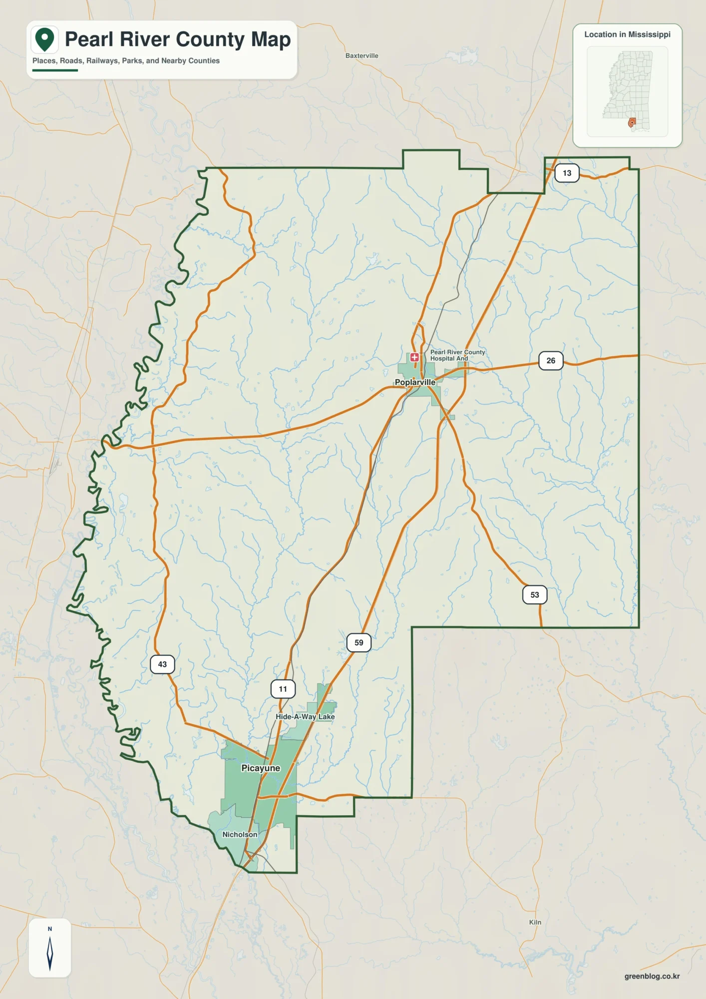
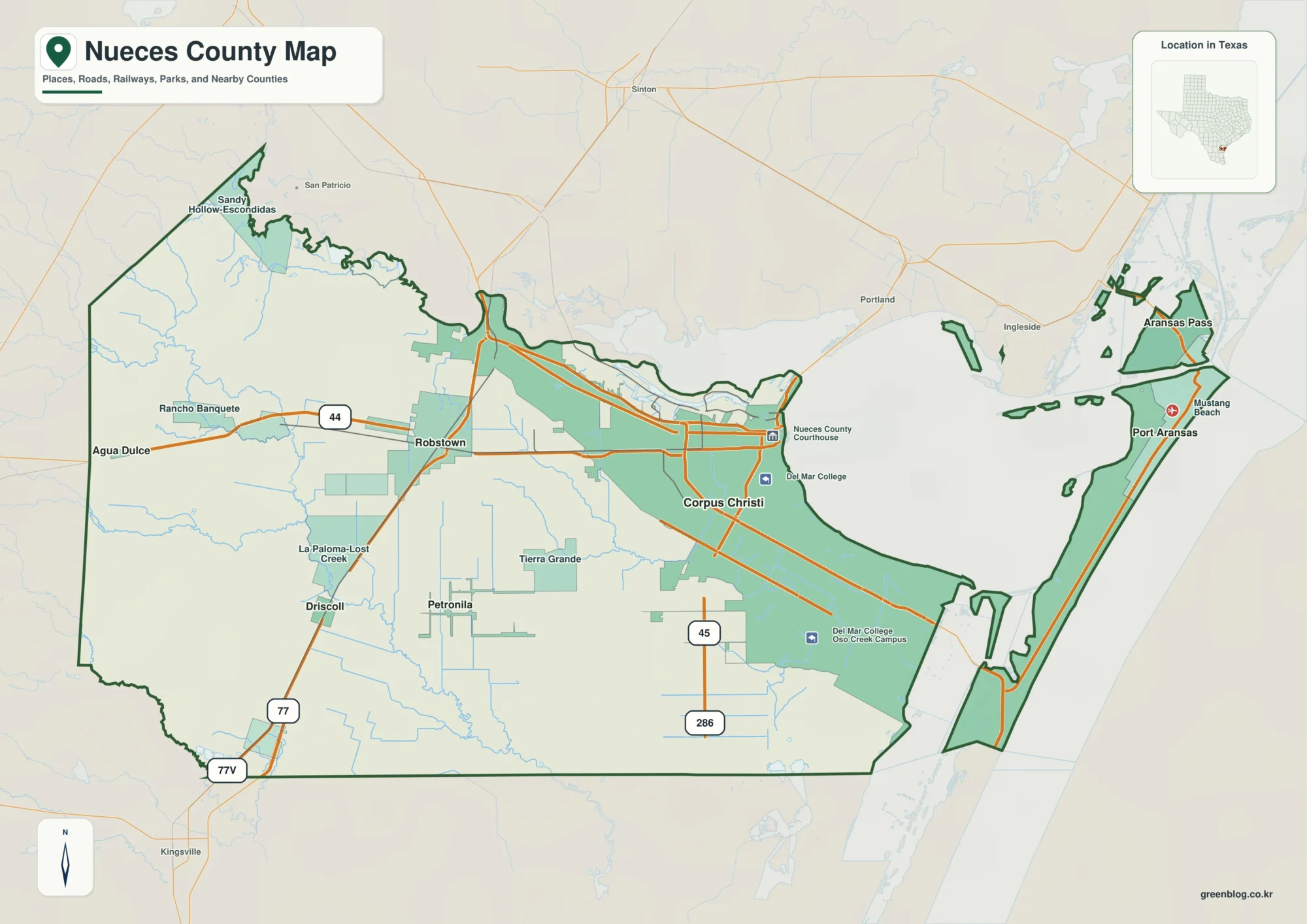
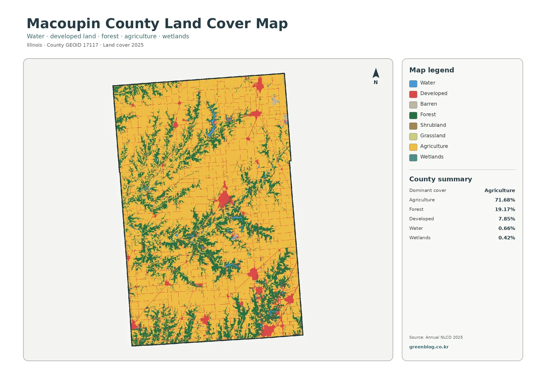
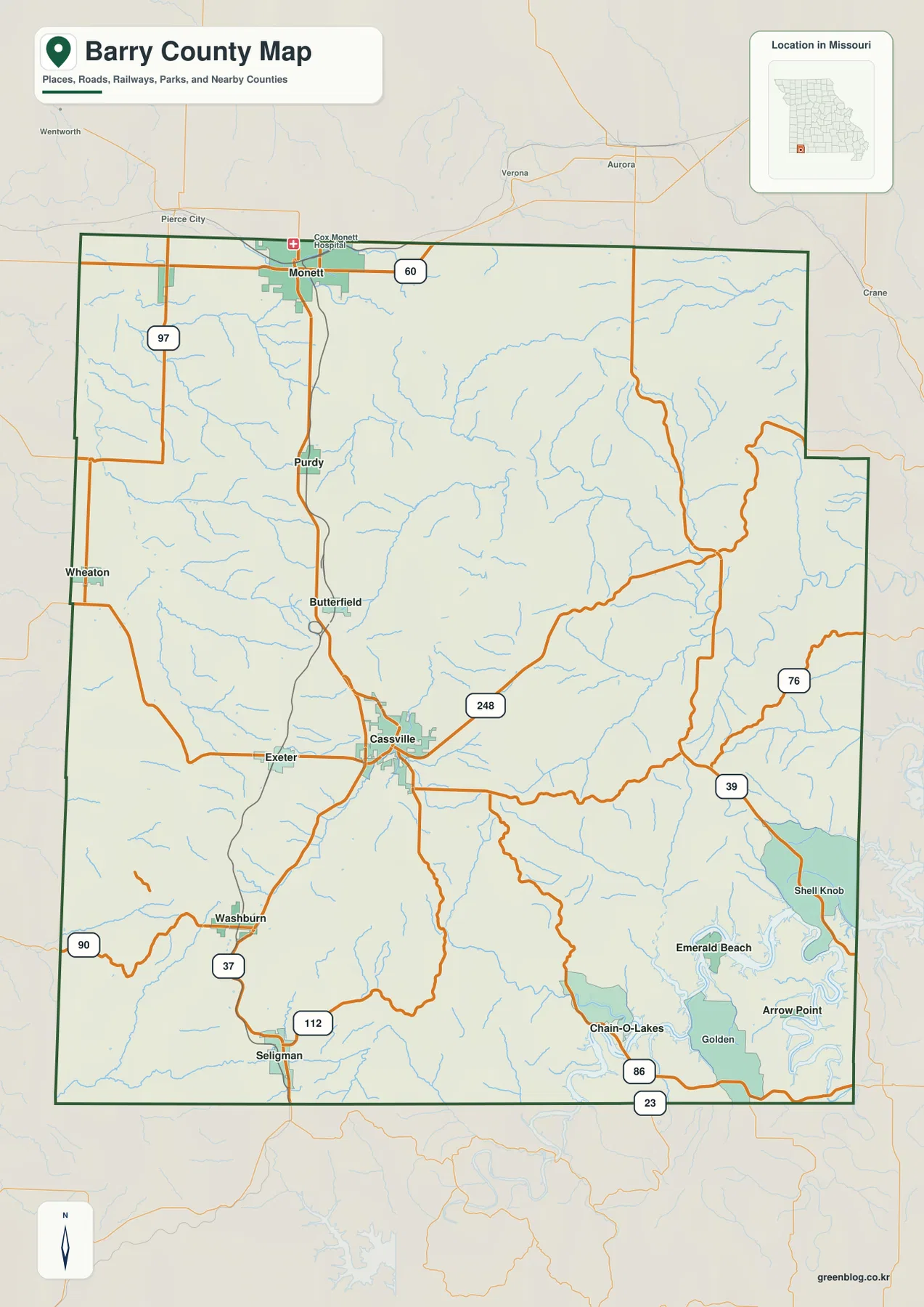
Greene County occupies Pennsylvania’s far southwestern corner, where Waynesburg sits among rolling hills and the Monongahela River forms the eastern edge. I-79 and PA 21 provide the strongest road references around the county seat, while Carmichaels, Rices Landing, Clarksville, and Greensboro help define the eastern half. The county is much more rural than urban, and the four original A3 high-resolution JPG maps on this page can be downloaded from the file box below. High-resolution map files are available for download in the section below.
Short ridges and narrow creek valleys dominate the terrain. South Fork Tenmile Creek, Dunkard Creek, Whiteley Creek, Muddy Creek, and many smaller tributaries cut the uplands into a dense pattern of low corridors. The supplied elevation map ranges from about 233 to 511 meters, with a mean near 364 meters, so the contrast between the Monongahela lowlands and western hills is easy to see.
Table of Contents
Waynesburg anchors the county around PA 21 and I-79
Waynesburg is the best starting point on the general reference map. The county seat lies close to PA 21, while I-79 passes just to the east and provides the main north-south regional route. PA 18 reaches the northwestern hills, and PA 19 and PA 218 continue toward Mount Morris and the West Virginia side.
Morrisville and Mather lie north and northeast of Waynesburg, while Jefferson and Rices Landing are farther east. PA 188 and PA 221 help connect those communities with the Monongahela side. The road network becomes much thinner west of Waynesburg, where Wind Ridge and scattered rural settlements occupy long hill-and-valley corridors.
Greene County’s road pattern reflects its relief. Major routes follow lower ground where possible, while local roads wind over short ridges and through narrow stream valleys. The general map is therefore most useful when roads and nearby creeks are considered together rather than as separate features.

Rices Landing, Clarksville, and Greensboro follow the Monongahela side
The eastern county has a different geographic focus from the Waynesburg interior. Rices Landing and Clarksville sit close to the Monongahela River, while Carmichaels lies slightly farther inland along PA 21. Greensboro occupies the southeastern river bend near the Fayette County side.
Rices Landing is served by routes near PA 88 and PA 188, and Clarksville lies farther north. Carmichaels connects directly toward Waynesburg along PA 21, with Fairdale and Nemacolin extending into the southeastern interior. These communities form the county’s clearest river-oriented settlement belt.
The Monongahela is also a boundary feature. The county line bends with the river, producing the curved eastern edge visible on the general map. This is one reason the eastern municipalities are easier to understand when the river is used as the main reference.
Waynesburg dominates the ranked community map
The supplied ranked community graphic highlights Waynesburg, Rices Landing, Carmichaels, Jefferson, Greensboro, and Clarksville. The printed values are Waynesburg 3,811, Rices Landing 515, and Carmichaels 388. Jefferson follows at 301, Greensboro at 285, and Clarksville at 219.
Those figures explain the ranking used on the supplied map and should not be treated as substitutes for the newest official population estimates. Waynesburg is clearly separated from the other five places by size, while most of the smaller ranked communities lie in the eastern half of the county.
The graphic does not include every named community. Wind Ridge, Mount Morris, Nemacolin, and other places remain important on the general reference map. For a full settlement picture, the ranked graphic should therefore be used together with the road map and current Census data.

Tenmile, Dunkard, and Whiteley creeks cut through the rolling uplands
South Fork Tenmile Creek is one of the strongest drainage references in the northern and central county. Ruff Creek and Browns Creek join the broader drainage network, while Muddy Creek and Whiteley Creek occupy lower corridors farther east. Those stream valleys provide natural routes through otherwise hilly ground.
Dunkard Creek crosses the southern county near the West Virginia side. Roberts Run, Grays Run, Hoover Run, and many short tributaries divide the southwestern hills into small watersheds. Unlike counties dominated by large lakes, Greene County’s water map is defined mostly by creeks and branching tributaries.
Ryerson Station Reservoir appears in the western half, and Dunkard Fork Wheeling Creek lies farther northwest. Pennsylvania DCNR places Ryerson Station State Park near Wind Ridge and describes the park as a 1,164-acre recreational area in Greene County reached from PA 21.
The terrain-and-water map is intended for geographic reference. It does not establish flood zones, water depth, water quality, navigation conditions, or parcel drainage, so those questions require current agency information.

Elevation ranges from about 233 to 511 meters
The supplied elevation map shows an actual range of roughly 233 to 511 meters and a mean near 364 meters. The lowest green terrain follows the Monongahela River and major creek valleys, while higher yellow and brown uplands become more common toward the west, northwest, and southwest.
Greene County does not have one dominant mountain ridge. Instead, many short and irregular ridges are separated by branching valleys. Tenmile Creek, Dunkard Creek, and Whiteley Creek appear as lower corridors surrounded by quickly rising hills.
Waynesburg occupies middle elevations, while Wind Ridge and much of the western county sit on higher rolling terrain. Rices Landing, Clarksville, and Greensboro are lower because of their proximity to the Monongahela. Comparing the road and elevation maps helps explain why PA 21, PA 18, and PA 188 bend through valleys rather than following straight lines.
This elevation surface is intended for county-wide comparison rather than survey-grade measurement. Property, road, drainage, construction, or engineering work requires authoritative elevation data or professional surveying.

Greene County was created in 1796 and Waynesburg became the county seat
Greene County’s official history states that the county was created on February 9, 1796 when the southern portion of Washington County was separated. The new county was named for Revolutionary War General Nathanael Greene. Waynesburg was laid out in 1796 and became the county seat.
The county developed around agriculture, wool, coal, and natural gas. Official history notes a strong Merino sheep and wool economy during the nineteenth century, followed by the growing importance of bituminous coal and gas. The rural settlement pattern visible on the maps reflects that long agricultural and resource-based history.
The county also credits I-79 with greatly improving regional mobility after its construction in the 1960s. On the modern map, I-79 provides the direct connection from the Waynesburg area toward Washington and Pittsburgh to the north and Morgantown to the south.
The Monongahela River helped shape the eastern county’s economy and transportation
The Monongahela River forms the eastern edge beside Rices Landing, Clarksville, and Greensboro. Its broad valley is much lower than the hills farther west, and several local creeks drain toward it.
Pennsylvania Historical and Museum Commission material notes that the Monongahela slackwater system reached Rices Landing in 1857, making it easier to move local products to market. Later coal development further increased the importance of river and rail transportation along the eastern side.
The modern maps still show the same geographic contrast. River communities occupy lower terrain, while Waynesburg and the western townships sit among more rolling uplands. The river therefore remains one of the clearest ways to divide the county into understandable regions.
Ryerson Station State Park represents the western hill country
Pennsylvania DCNR places Ryerson Station State Park near Wind Ridge in southwestern Greene County. The park covers about 1,164 acres and includes forests, valleys, camping, hiking, fishing, and other recreation, making it a useful real-world reference for the western landscape.
DCNR’s trail information describes mature forest, wet valley bottoms, fields, and plantations. Those environments fit the elevation map’s deeply dissected western hills, where short ridges and small stream valleys repeat over a relatively small area.
The park’s former Duke Lake was drawn down after dam problems, and the site has gone through a long re-vision process. The supplied map still labels Ryerson Station Reservoir, so readers should treat that feature as a geographic map label rather than assume current water conditions match the old lake configuration.
Carmichaels and Jefferson connect the inland roads with the river communities
Carmichaels lies along PA 21 east of Waynesburg, while Jefferson is farther north near PA 188. Neither place sits directly on the Monongahela, but both connect the county-seat area with Rices Landing, Clarksville, and other eastern communities.
Whiteley Creek drainage reaches the Carmichaels side, while Tenmile Creek tributaries are more important around Jefferson and the north-central county. Roads repeatedly share the same low corridors as the streams, so the water map adds useful context to the general road map.
Historically, eastern Greene County was closely tied to coal, farming, and river transport. Today the map is dominated by small boroughs, state routes, and creek valleys, but the distribution of those features still reflects the county’s industrial and agricultural geography.
Choose the map according to the question
The general reference map is the quickest choice for roads and communities. It places Waynesburg, Carmichaels, Rices Landing, Clarksville, Greensboro, Wind Ridge, I-79, PA 21, PA 18, PA 19, PA 188, and PA 221 in one view. The ranked community map is cleaner when the goal is simply to compare the six selected settlements.
The terrain-and-water map is more useful for South Fork Tenmile Creek, Dunkard Creek, Whiteley Creek, Muddy Creek, Ruff Creek, and Ryerson Station Reservoir. The elevation map removes most labels and makes the contrast between low eastern valleys and higher western hills especially easy to see.
For printed handouts, classroom use, regional reference notes, or presentation slides, the A3 high-resolution JPG files in the download archive will remain sharper than enlarged web previews. Pairing the road and elevation maps works well for transportation and relief, while the city and water maps show how settlement follows individual valleys and the Monongahela edge.
Frequently Asked Questions
What is the easiest place to start when locating areas in Greene County?
Waynesburg is the best starting point because PA 21 and I-79 pass nearby and the borough is the county seat. Wind Ridge is west, Carmichaels and Rices Landing are east, and Mount Morris is south.
Why are so many small streams visible on the Greene County map?
Much of the county is made of short ridges separated by narrow valleys. Tenmile Creek, Dunkard Creek, Whiteley Creek, and many smaller tributaries occupy the low ground between those hills.
Is the Waynesburg value of 3,811 on the ranked map a current official population estimate?
Not necessarily. It is the ranking value printed on the supplied graphic. Readers who need the newest official population figures should consult current U.S. Census Bureau releases.
Map File Information
The download ZIP contains four A3 high-resolution JPG files: the Greene County general reference map, ranked community map, terrain-and-water map, and elevation map. The original files are larger than the web previews and are better suited to printing, classroom handouts, regional reference work, and presentation slides.
- Included Files: Use only the versions confirmed in the article and supplied images
- File Type: Use the confirmed download contents
- Intended Use: Printing, education, presentations, and map-based projects
Related Maps
Sources and References
- Greene County official history: county formation, Waynesburg, agriculture, coal, natural gas, and I-79 history.
- Pennsylvania Historical and Museum Commission – Greene County: county creation, Waynesburg, Monongahela River, and coal history.
- Pennsylvania DCNR – Ryerson Station State Park: official information on the park and the western Greene County landscape.
- U.S. Census Bureau TIGER/Line Shapefiles: county boundaries and transportation geography.
- USGS National Hydrography: stream and waterbody data.
- USGS 3D Elevation Program: elevation data and 3DEP documentation.
Green Map creates custom-edited map images using open geographic data sources such as geoBoundaries, Natural Earth, OpenStreetMap, and government open data. These maps are edited visual materials, not raw data files, and are provided for education, documents, presentations, and graphic reference.