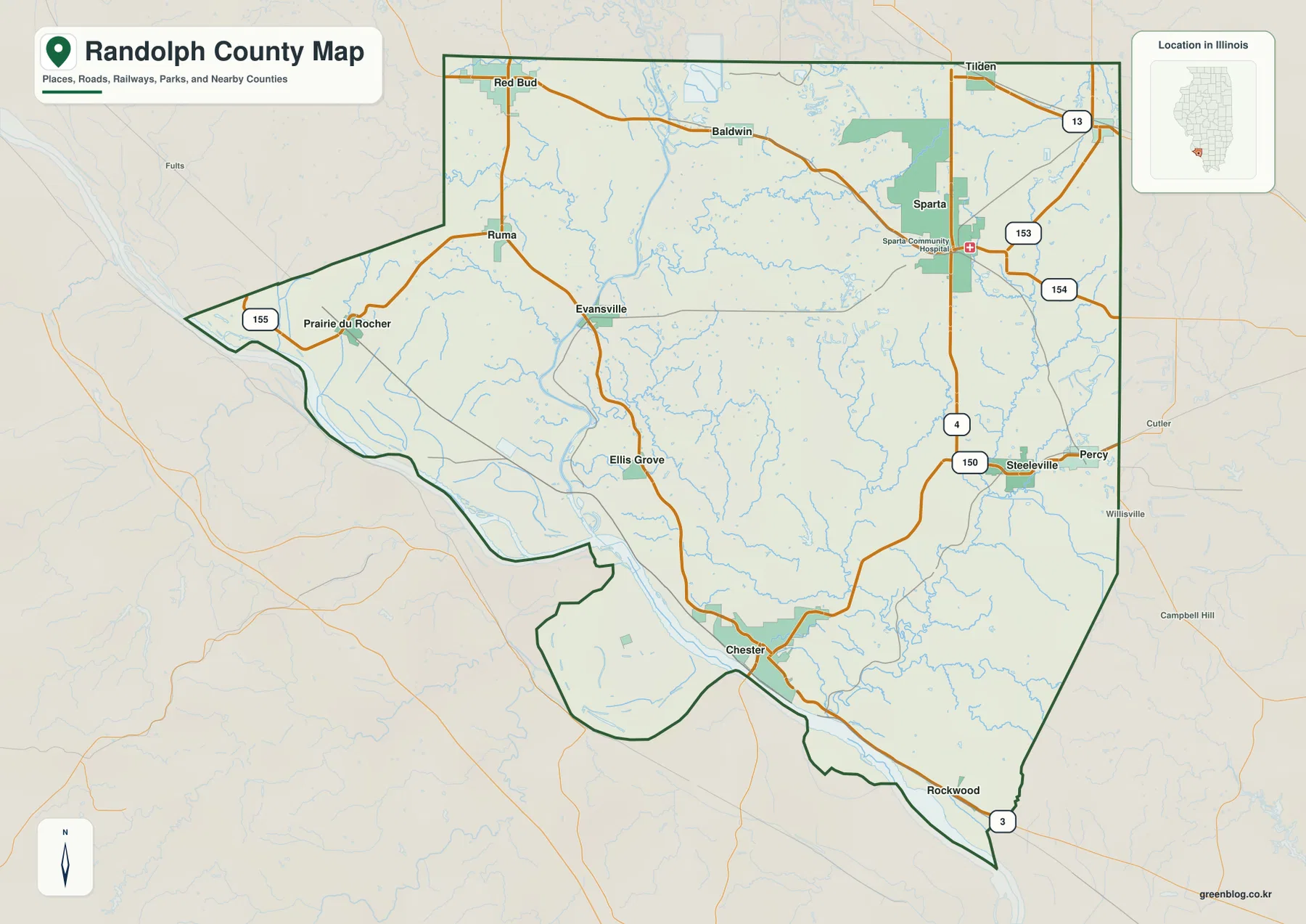
Clarion County lies in western Pennsylvania, where the Borough of Clarion and nearby Shippenville form the main central road hub while smaller communities spread through a network of river and creek valleys. I-80, U.S. 322, PA 66, PA 68, PA 208, and PA 28 provide the strongest route references, and the county is framed by the Clarion River system and the Allegheny River along the west. The four map files on this page are also available as A3 high-resolution JPG originals in the download box below.
The Clarion River is the clearest natural reference. It enters through the higher eastern uplands, bends across the county, and drops toward the Allegheny River side. Away from the main valleys, short tributaries cut closely spaced hills into a complicated pattern, so roads and communities often follow low corridors rather than direct straight lines.
Table of Contents
Clarion and Shippenville form the county’s central road hub
The Borough of Clarion is the easiest place to start on the general reference map. PA 66 and U.S. 322 meet near town, and I-80 crosses the county just to the south. Shippenville sits northwest of Clarion along the PA 66 and PA 208 side, making the two communities the main central anchors for road orientation.
East of Clarion, U.S. 322 passes Strattanville and continues toward Jefferson County. Routes heading north climb into higher terrain through the PA 66 and PA 36 corridors, while PA 208 reaches west toward Knox and the Emlenton side. I-80 provides the fastest east-west crossing and leaves the county across the Allegheny River near Emlenton.
South of the central hub, the road network spreads into smaller valley towns. Sligo and Rimersburg occupy different corridors, while Hawthorn lies toward the southeast near PA 28 and PA 861. New Bethlehem is close to the southern-eastern boundary, so it functions more as a local edge community than as part of a continuous Clarion urban area.

Clarion leads the community ranking, but the smaller towns are widely separated
The ranked community map highlights Clarion, Rimersburg, Knox, East Brady, New Bethlehem, and Sligo. The values printed in the supplied graphic are Clarion 4,192, Rimersburg 1,100, Knox 1,082, East Brady 1,041, New Bethlehem 957, and Sligo 731. These numbers describe the ranking used on the map; readers who need the latest official population estimates should check current Census Bureau releases.
Clarion stands apart as the largest ranked community and also sits near the county’s most important road junctions. Knox is farther west along PA 208, while Rimersburg and Sligo occupy southern creek valleys. East Brady lies near the Allegheny River in the southwest, and New Bethlehem is close to the opposite southeastern edge.
The spacing between the six places says as much as the ranking itself. Clarion County does not have one continuous built-up corridor; instead, small boroughs and communities occupy separate low areas among rolling uplands. The ranked map becomes much more informative when compared with the water and elevation maps.

The Clarion River bends through the county toward the Allegheny
The Clarion River is the dominant feature on the terrain-and-water map. It enters from the east through steep, dissected hills and makes a series of broad bends as it crosses the county toward the west. Tributaries descend from both sides, creating a dense pattern of narrow hollows and low corridors.
North and central tributaries include Toby Creek, Mill Creek, and East Sandy Creek. In the west-central county, Beaver Creek and Canoe Creek follow neighboring valleys, while Licking Creek crosses much of the southern interior. Leatherwood Creek and Pine Creek provide additional southern references and help explain why local roads rarely form a simple grid.
The Allegheny River follows the western side near Emlenton and Foxburg, where the county boundary bends with the river. East Brady also sits close to the Allegheny farther south. Pennsylvania historical material notes that timber from Clarion County was once floated down the Clarion River toward the Allegheny, linking the modern water map with the county’s early lumber economy.
Lake Lucy appears in the northeastern interior, along with several smaller unnamed or local water bodies elsewhere on the map. This terrain-and-water map is intended for regional reference and should not be used to determine flood zones, water depth, navigation conditions, or water quality.

Elevation ranges from about 251 to 580 meters
The elevation map displays an actual range of roughly 251 to 580 meters and a mean near 429 meters. The lowest green terrain follows the Clarion River, the Allegheny River, and several larger southern creek valleys. Higher yellow and brown uplands dominate much of the north and east.
The Clarion River stands out as a long green corridor winding through higher ground. Short tributary valleys branch away from it, repeatedly cutting the uplands into narrow ridges. The eastern and northeastern county is especially rugged, which helps explain why U.S. 322, PA 36, and local roads bend through lower passages rather than following straight lines.
The western river edge around Emlenton and Foxburg is lower, but hills rise quickly only a short distance inland. The southern interior around Rimersburg and Sligo is also far from flat: Licking Creek and neighboring streams divide the area into a series of smaller ridges and valleys.
The elevation colors are designed for county-wide comparison, not survey-grade measurements for a parcel, building, bridge, or engineering site. Detailed property work should rely on authoritative elevation data or professional surveying.

Emlenton and Foxburg sit where the Allegheny River defines the western edge
The western county has a very different geographic character from the interior around Clarion. The Allegheny River forms a large, winding boundary near Emlenton and Foxburg, and I-80 crosses the river at the Emlenton side before continuing into Venango County. PA 58 and PA 368 provide additional access to river communities.
Emlenton is particularly useful as a transportation reference because the interstate and river meet in the same area. Foxburg lies farther south along the water, where the county boundary follows another large river bend. On the elevation map, both places occupy low green terrain with steeper uplands rising immediately to the east.
The river also has historical importance. Pennsylvania historical records describe the Clarion and Allegheny waterways as transportation routes for the nineteenth-century lumber industry. The modern map no longer shows that industrial use, but the geography makes clear why these rivers once provided an easier route through a hilly county.
Rimersburg, Sligo, and New Bethlehem occupy separate southern valleys
Southern Clarion County is more dispersed than the central Clarion–Shippenville area. Rimersburg lies in the south-central interior, Sligo is farther northeast, and New Bethlehem sits close to the southeastern county boundary. Roads connect the communities through rolling terrain rather than along one broad valley.
Licking Creek is one of the strongest water references in this half of the county, while Leatherwood Creek and Pine Creek occupy other valleys. Numerous smaller tributaries descend from the surrounding hills. These streams help explain the curved local roads and the distance between small communities.
Rimersburg ranks second on the supplied community map, but its mapped population is still only a fraction of Clarion’s. Sligo and New Bethlehem are smaller again, so settlement scale alone does not explain southern geography. Creek valleys and road junctions are more useful for understanding where each place sits.
The eastern Clarion River corridor leads toward the Cook Forest landscape
Eastern and northeastern Clarion County contains some of the highest and most deeply cut terrain on the map. The Clarion River enters through this side, and roads such as U.S. 322 and PA 36 cross or approach separate upland corridors. Large population centers are scarce, so river valleys and ridges become the better orientation features.
Pennsylvania DCNR describes Cook Forest State Park and the Clarion River Lands as a major natural area in northwestern Pennsylvania. The park is known for old-growth white pine and hemlock stands, and a scenic 13-mile section of the Clarion River flows through the park. That landscape provides useful context for the forested river corridor east and northeast of central Clarion County.
The elevation map reinforces the same picture. Higher terrain presses close to the river, and many tributaries cut narrow valleys down toward the main channel. Comparing the road, water, and elevation maps shows why the Clarion River is both a natural landmark and a practical corridor through the uplands.
Clarion County was created in 1839 and named for its river
Pennsylvania State Archives records that Clarion County was created on March 11, 1839 from parts of Venango and Armstrong counties, with Clarion serving as the county seat. Pennsylvania Historical and Museum Commission material explains that the county was named for the Clarion River.
The same historical source describes lumber, iron, oil, and coal as important parts of the county’s early economy. Timber was floated down the Clarion River toward the Allegheny, making the river system an economic route as well as a geographic one. That history helps connect present-day towns and river valleys with the county’s nineteenth-century development.
Modern Clarion County combines the central Clarion–Shippenville road hub, the low Allegheny River edge, scattered southern boroughs, and the higher river-and-forest landscape to the east. Looking at those regions together gives a much better picture than treating the county as a uniform block of rolling hills.
Choose the map that matches the question
For roads and place names, the general reference map is the best starting point. It combines Clarion, Shippenville, Knox, Rimersburg, New Bethlehem, Emlenton, I-80, U.S. 322, PA 66, and PA 208 in one view. The ranked community map is cleaner when the goal is to compare the larger boroughs and see how widely they are separated.
For rivers and valley terrain, the water map provides the most detail. The Clarion and Allegheny rivers, Toby Creek, Licking Creek, Pine Creek, and other tributaries can be compared directly with shaded relief. The elevation map removes most labels and makes the low river corridors and higher northern and eastern uplands especially easy to distinguish.
For printed handouts, classroom use, regional reference notes, or presentation slides, the A3 high-resolution JPG files in the download archive will remain sharper than enlarged web previews. Pairing the road and elevation maps works well for transportation and relief, while the community and water maps show how settlement follows river and creek valleys.
Frequently Asked Questions
What is the easiest place to use as a reference point in Clarion County?
Start with Clarion and nearby Shippenville. I-80, U.S. 322, PA 66, and PA 208 all pass close to this central area, making it easy to separate the western Knox–Emlenton side from the southern Rimersburg–Sligo area.
Why is the Clarion River so important on the county maps?
The river crosses the county through a deep, winding valley and receives many smaller tributaries. Roads and settlements repeatedly use the lower terrain around that valley, and the river also played an important historical role as a transportation route toward the Allegheny River.
Can the 251–580 meter elevation range be used for an exact property elevation?
No. The range summarizes county-wide relief and is useful for comparing low river valleys with the higher northern and eastern uplands. Surveying, construction, or parcel-level work requires authoritative source elevation data or professional measurement.
Map File Information
The download ZIP contains four A3 high-resolution JPG files: the Clarion County general reference map, ranked community map, terrain-and-water map, and elevation map. The original files are larger than the web previews and are better suited to printing, classroom handouts, regional reference work, and presentation slides.
- Included Files: Use only the versions confirmed in the article and supplied images
- File Type: Use the confirmed download contents
- Intended Use: Printing, education, presentations, and map-based projects
Related Maps
Sources and References
- Pennsylvania State Archives – County Courthouses: Clarion County creation date and Clarion county-seat record.
- Pennsylvania Historical and Museum Commission – Clarion County: county formation, river name, and early economic history.
- Pennsylvania DCNR – Cook Forest State Park: official information on the Clarion River and surrounding forest landscape.
- U.S. Census Bureau TIGER/Line Shapefiles: county boundary and transportation geography.
- USGS National Hydrography: rivers, streams, lakes, and hydrographic data.
- USGS 3D Elevation Program: elevation data and 3DEP documentation.
Green Map creates custom-edited map images using open geographic data sources such as geoBoundaries, Natural Earth, OpenStreetMap, and government open data. These maps are edited visual materials, not raw data files, and are provided for education, documents, presentations, and graphic reference.