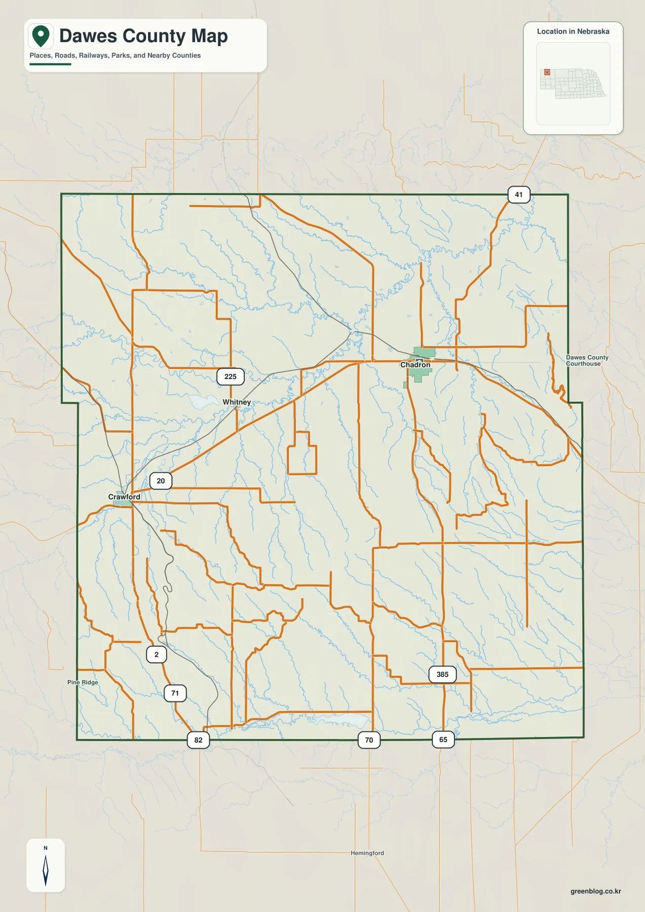
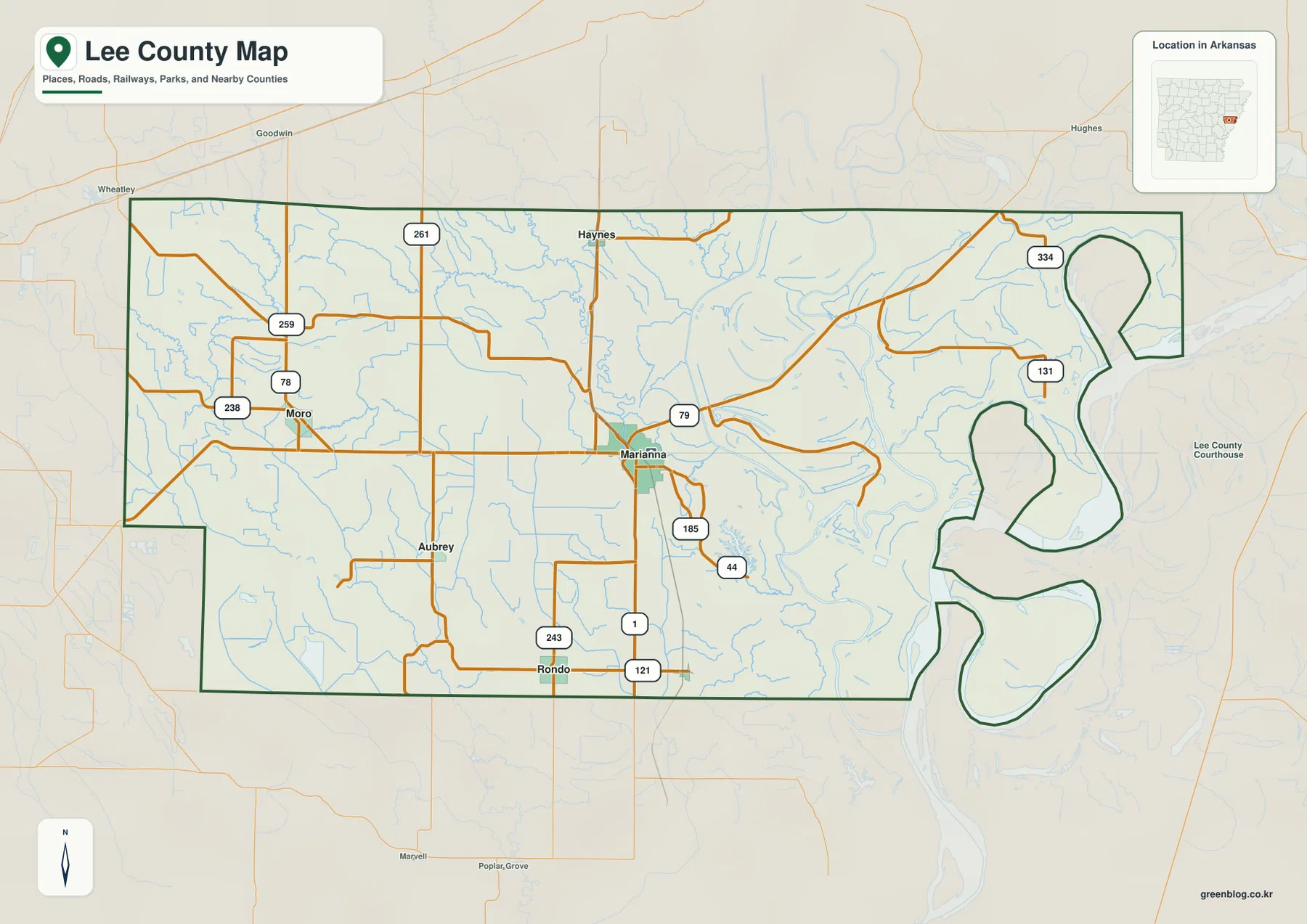
Butler County lies north of Pittsburgh in western Pennsylvania, with the City of Butler serving as the main road and population center. Lake Arthur stands out to the west, Slippery Rock anchors the northwest, and smaller communities such as Zelienople, Evans City, Seven Fields, and Mars cluster toward the southwest and south. The maps on this page compare roads, major communities, waterways, and elevation, and the four original A3 high-resolution JPG files can be downloaded from the map file box below.
The county is a landscape of rolling uplands cut by many stream valleys rather than a single flat basin. Lower ground follows Connoquenessing Creek and several southwestern valleys, while higher and more dissected terrain becomes more common toward the north and east. Around Lake Arthur, open water and gentler hills create a strong western landmark; farther northwest, Slippery Rock Creek forms another recognizable corridor through the rural landscape.
Table of Contents
Butler sits at the center of PA 8, U.S. 422, and the county road network
The City of Butler is the most useful anchor on the general reference map. PA 8 runs north and south through the central county, U.S. 422 crosses the Butler area east-west, and PA 68 provides an important link toward the west and southwest. East Butler is immediately nearby, while PA 38 and PA 308 reach into the hillier country north and northeast of the city.
The western side is organized differently. I-79 passes through the county near the Zelienople and Portersville side, and routes such as PA 108 and PA 173 provide access toward Slippery Rock. Prospect appears between Butler and the western highway corridor, while West Liberty lies farther north in a more rural part of the county. Travel here is shaped by smaller roads that follow stream valleys and rolling terrain.
The southern county contains several closely spaced communities. Zelienople, Evans City, Seven Fields, and Mars are relatively near one another compared with the more widely separated towns in the north. PA 228 and PA 356 connect parts of the southeastern side near Saxonburg, while the I-76 and U.S. 19 corridor approaches the southwestern edge. The map therefore shows a clear contrast between a denser southern transportation network and the more open northern countryside.

Butler leads the city ranking while Zelienople and Slippery Rock anchor separate areas
The ranked community map highlights Butler, Zelienople, Slippery Rock, Seven Fields, Evans City, and Mars. The values printed in the map index are Butler 13,212, Zelienople 3,827, Slippery Rock 3,495, Seven Fields 2,884, Evans City 2,074, and Mars 1,285. These figures explain the ranking used on the supplied map; readers who need the newest official population estimates should consult current Census Bureau releases.
Butler occupies the central-southern part of the county and is clearly separated from the five smaller communities. Zelienople and Evans City are tied more closely to the southwestern highway network, while Seven Fields and Mars sit near the southern edge. Slippery Rock is far to the northwest, giving it a distinct position away from the Butler-centered and southwest clusters.
The settlement pattern is useful because it shows that Butler County is not one continuous urban strip. Several smaller communities are grouped toward the Pittsburgh-facing side, Butler forms its own central hub, and Slippery Rock serves as a northern reference point within a much more rural area. Comparing the community map with the elevation map makes the separation between these areas even more obvious.

Lake Arthur and Slippery Rock Creek define the western water landscape
Lake Arthur is the largest and easiest-to-recognize water body on the terrain-and-water map. It occupies the western part of the county and is the central feature of Moraine State Park. Pennsylvania DCNR describes the lake as a 3,225-acre reservoir with 42 miles of shoreline, set within a much larger state park of rolling hills and forests.
Northwest of the lake, Slippery Rock Creek winds through a broad rural corridor and is joined by many smaller tributaries. Tamarack Lake and Glade Dam Lake provide additional landmarks in the northern half of the county. The creek valleys are lower than the surrounding ridges, so the water map and elevation map show the same broad pattern from two different perspectives.
Central and southern Butler County are drained by another set of streams. Connoquenessing Creek and Little Connoquenessing Creek cross the southwestern interior, Thorn Creek follows a separate valley farther east, and Breakneck Creek reaches through the south. Bear Creek occupies the eastern and northeastern side, where shorter tributaries cut closely spaced hills.
Several smaller impoundments are also labeled, including Boydstown Reservoir, Lake Oneida, Thorn Reservoir, and Glade Run Lake. Together they show that Butler County’s water geography is not centered on one river alone. The map is a regional reference, however, and should not be used for flood-zone decisions, navigation, reservoir operations, or water-quality determinations.

Elevation ranges from about 230 to 484 meters across rolling hills and valleys
The elevation map displays an actual range of roughly 230 to 484 meters and a mean near 381 meters. Lower green tones follow major creek valleys through the southwest and central county, while yellow and brown become more common across the northern and eastern uplands. The City of Butler sits among rolling terrain rather than a perfectly flat plain, but its surrounding valleys are noticeably lower than many areas farther north.
The northern half contains dense networks of short ridges and narrow valleys. In the northeast, Bear Creek and its tributaries cut deeply into higher terrain, creating a tightly folded appearance on the shaded-relief map. The northwest around Slippery Rock Creek has the same general hill-and-valley pattern, although some valleys are broader and less tightly packed.
Lake Arthur lies within lower western terrain surrounded by rolling uplands, while the Connoquenessing Creek system creates a broad low corridor in the southwest. Roads near Zelienople and Evans City frequently make use of these lower areas. Looking at the general reference and elevation maps together helps explain why some highways follow broad curves instead of straight lines.
The elevation colors are designed for county-wide comparison and are not survey-grade measurements for individual parcels, buildings, bridges, or construction sites. Site-specific engineering and property work should rely on authoritative source elevation data or professional surveying.

Lake Arthur and the Slippery Rock area give western Butler County a strong natural identity
West of Butler, the map becomes less dominated by city streets and more by water, hills, and smaller rural roads. Lake Arthur is the defining feature, with an irregular shoreline surrounded by low ridges and stream valleys. Moraine State Park occupies this area, and Pennsylvania DCNR notes that the park is a major example of land restoration after earlier coal mining and oil and gas extraction.
Slippery Rock lies farther north and serves as a separate reference point within the northwest. PA 108 and PA 173 connect the area with surrounding communities, while Slippery Rock Creek and its tributaries provide a clear natural corridor. Compared with the Butler area, settlement is more widely spaced and the terrain-and-water features occupy a larger share of the map.
Prospect and West Liberty sit between or near these two western reference areas. Their positions help connect the lake country with the Slippery Rock side, but the road network is more dispersed than it is in the south. For orientation, remembering Butler, Lake Arthur, and Slippery Rock is often more useful than trying to memorize every small local road.
The Zelienople–Seven Fields side has stronger ties to the Pittsburgh-facing road network
Southwestern Butler County has a different visual character from the rural north. Zelienople and Evans City lie near the I-79 and U.S. 19 corridor, while Seven Fields and Mars occupy the southern edge of the county. Major roads are more closely spaced here, and the terrain generally sits lower than the higher northern and eastern uplands.
Connoquenessing Creek and Little Connoquenessing Creek follow the lower corridors through this part of the county. Breakneck Creek and Glade Run add smaller valleys, and roads frequently bend along the same general low terrain. This makes the relationship between transportation and drainage particularly easy to see when the water and road maps are viewed together.
Toward Saxonburg and the southeastern side, PA 228 and PA 356 provide important reference routes and the terrain becomes more strongly rolling again. Even within southern Butler County, the southwest highway corridor and the southeastern creek-and-hill landscape do not look identical, so the county is best understood as a series of connected local areas rather than one uniform region.
The northeastern uplands are cut by Bear Creek and many small tributaries
Northeastern Butler County contains some of the most consistently high terrain on the elevation map. Bear Creek follows a long valley through this area, and numerous short tributaries branch into the surrounding ridges. Small communities such as Bruin and Cherry Valley appear on the general map, with PA 58 and PA 268 providing useful road references.
Large towns are scarce in this corner, so terrain and water features become more useful for orientation. Bear Creek cuts through higher ground, and roads often follow the easier valley routes rather than crossing every ridge directly. The spacing between settlements is also wider than around Butler or the southwestern highway corridor.
The combination of the water and elevation maps makes the northeastern landscape especially clear. Higher ridges are repeatedly broken by narrow green valleys, and those valleys often carry streams or local roads. Because of this relief, actual road distance can be longer than a simple straight-line measurement between nearby points.
Choose the map that matches the question
For roads and place names, the general reference map is the best starting point. Butler provides the central anchor, and the positions of Slippery Rock, Zelienople, Seven Fields, Saxonburg, PA 8, U.S. 422, and I-79 can all be compared in one view. The ranked community map is cleaner when the goal is simply to compare the six larger settlements and see how they are distributed across the county.
For rivers, lakes, and smaller reservoirs, the terrain-and-water map is more useful. Lake Arthur, Slippery Rock Creek, Connoquenessing Creek, Bear Creek, and several smaller water bodies are labeled against shaded relief. The elevation map reduces labels and emphasizes height, making the lower southwestern valleys and higher northern and eastern uplands especially easy to compare.
For printed handouts, classroom material, regional reference work, or presentation slides, the A3 high-resolution JPG files in the download archive will remain sharper than enlarged web previews. Pairing the general and elevation maps works well for explaining roads and terrain, while the community and water maps are useful for showing how settlements relate to valleys and major water features.
Butler County was formed in 1800, while Moraine State Park reflects a much newer landscape
Butler County planning materials state that the county was formed in 1800 from part of Allegheny County and named for Revolutionary War General Richard Butler. The county seat is the City of Butler, about 35 miles north of Pittsburgh. That location still helps explain the county’s modern geography: the southern portion is strongly connected to the Pittsburgh region, while the north and northeast remain more rural and hilly.
Lake Arthur tells a different part of the county’s story. Pennsylvania DCNR describes Moraine State Park as a landscape restored after extensive mineral extraction and oil and gas activity. Today the lake, forests, and rolling hills form one of the county’s most prominent natural areas, and the water map shows why Lake Arthur is such a useful geographic landmark.
Modern Butler County therefore includes a central city, a more suburban southwest, the Slippery Rock area in the northwest, and broad rural uplands in the north and east. Roads, communities, waterways, and elevation each reveal a different part of that pattern, and comparing the four maps provides the clearest overall picture.
Frequently Asked Questions
What is the easiest reference point for locating places in Butler County?
Start with the City of Butler. PA 8 and U.S. 422 pass nearby, Slippery Rock is to the northwest, and Zelienople and Seven Fields are toward the southwest and south. Adding Lake Arthur and I-79 to that mental map makes the county’s main areas easy to place.
Where is Lake Arthur in Butler County?
Lake Arthur is west of the City of Butler and forms the central water feature of Moraine State Park. It is the largest lake shown on the terrain-and-water map, and U.S. 422 crosses the park area, making the lake easy to connect with the general road map.
Can the 230–484 meter elevation range be used for a specific property?
No. The range summarizes county-wide terrain and is useful for comparing lower creek valleys with higher northern and eastern uplands. It does not provide a survey-grade elevation for an individual parcel or structure, so property-specific work should use authoritative source data or professional surveying.
Map File Information
The download ZIP contains four A3 high-resolution JPG files: the Butler County general reference map, ranked community map, terrain-and-water map, and elevation map. The original files are larger than the web previews and are better suited to printing, classroom handouts, regional notes, and presentation slides.
- Included Files: Use only the versions confirmed in the article and supplied images
- File Type: Use the confirmed download contents
- Intended Use: Printing, education, presentations, and map-based projects
Related Maps
Sources and References
- Butler County Comprehensive Plan: county formation, county-seat information, and regional setting.
- Pennsylvania DCNR – Moraine State Park: Lake Arthur size, park setting, and restoration history.
- U.S. Census Bureau TIGER/Line Shapefiles: county boundaries and transportation geography.
- USGS National Hydrography: rivers, streams, lakes, and reservoir data.
- USGS 3D Elevation Program: elevation data and 3DEP documentation.
Green Map creates custom-edited map images using open geographic data sources such as geoBoundaries, Natural Earth, OpenStreetMap, and government open data. These maps are edited visual materials, not raw data files, and are provided for education, documents, presentations, and graphic reference.