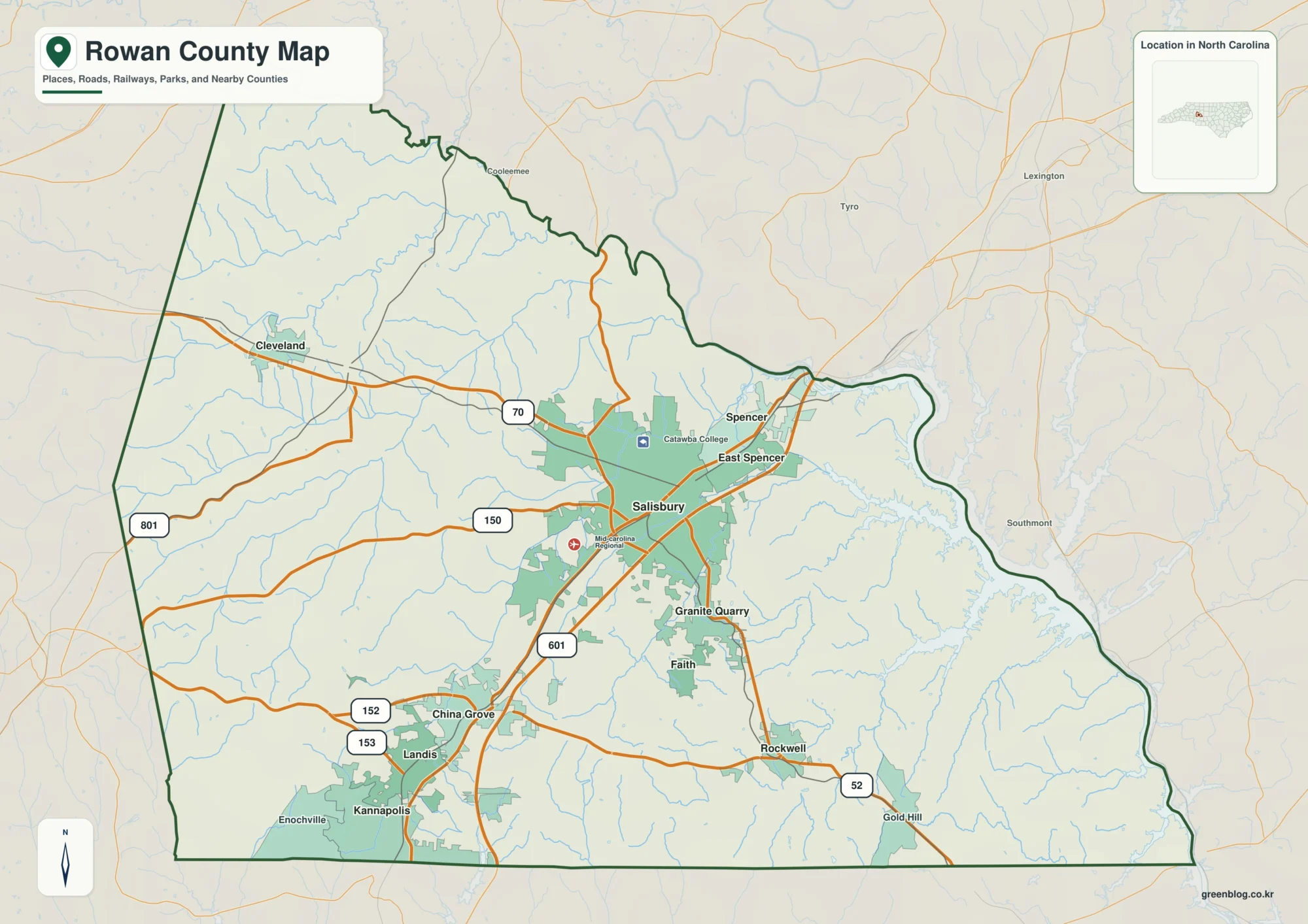
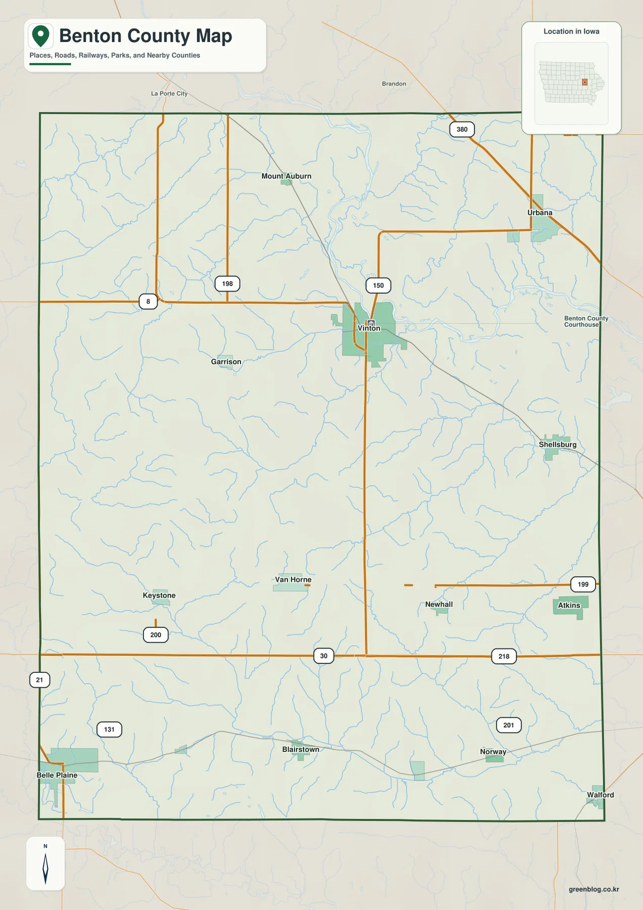
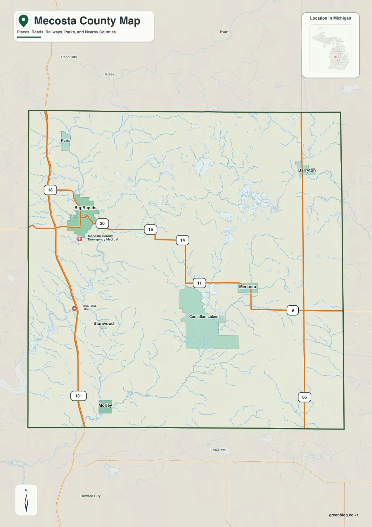
Pontotoc County lies in south-central Oklahoma, with Ada serving as the clearest geographic reference point for the county. Roads fan out from Ada toward Byng and Francis in the north, Allen in the northeast, Roff in the southwest, and Stonewall in the southeast. The landscape changes along those routes as well: the west and southwest contain higher, more broken uplands, while lower green terrain becomes more common toward the east.
This page combines a county boundary and road map, a ranked settlement distribution view, a terrain-and-water map, and a generalized elevation map. The same map subjects are available below as high-resolution JPG files in a downloadable ZIP archive. Reading the road map first and then comparing the water and elevation views makes it easier to connect familiar place names with the physical setting around them.
Table of Contents
Ada provides the easiest starting point for the county
On the general county map, Ada appears just north of the county’s middle and is surrounded by the densest concentration of labeled roads. The Pontotoc County Courthouse is also marked in Ada, and the county’s official website lists the courthouse there. For a reader who does not know the area, starting at Ada and moving outward is much easier than trying to interpret the irregular county outline first.
Byng sits north of Ada, with Francis farther east in the same general northern band. Allen is close to the northeastern edge and stands apart from the Ada-centered cluster. To the west are smaller places such as Pickett and Vanoss, while Fitzhugh and Roff help define the southwest. Stonewall and Pittstown give the southeastern part of the map its own reference points, showing that the county is not organized around one continuous urban area.
The settlement map also labels the surrounding counties: Seminole to the north, Coal to the northeast, Hughes to the east, Garvin to the southeast, Murray to the southwest, Johnston to the west, and Pottawatomie toward the northwest. Those labels are useful because Pontotoc County has several curved boundary sections, especially along the north and east. The outline is therefore easier to understand when seen in relation to its neighbors rather than as an isolated shape.
Roads radiate from Ada toward distinct parts of the county

The general map shows several numbered routes converging on or near Ada. U.S. 377 and State Highway 99 are labeled south of the city, while State Highway 1 heads toward the southwest. State Highway 3 provides an eastward reference from the Ada area, and State Highway 19 is visible across the western side. State Highway 48 appears along the eastern part of the county, while State Highway 59A is marked near the western edge.
Those highways make the county easier to divide into understandable travel directions. A reader following the southwest side can use Fitzhugh and Roff as checkpoints, while Byng and Francis orient the northern side. Allen marks the far northeastern section, and Stonewall provides a useful southeastern reference. Smaller places such as Latta, Pickett, Vanoss, and Pittstown help fill the large rural spaces between the better-known communities.
This map is designed for geographic orientation, not for parcel ownership, legal surveying, or current road-control decisions. A road line does not guarantee present driving conditions, and the county boundary shown here should not substitute for an official legal description. For property work or formal administrative use, consult the latest county and state records.
Six highlighted communities show a wide settlement spread

The settlement distribution view highlights six places in a simple county-wide index. Ada is ranked first, followed by Byng, Allen, Roff, Stonewall, and Francis. The ranking is useful for identifying the highlighted communities, but the more important information is where they sit. Ada occupies the center of the pattern, while the other five points spread toward the north, northeast, southwest, southeast, and north-central portions of the county.
Byng and Francis are both north of Ada, yet Francis is farther east. Allen is separated from them near the northeastern boundary. Roff is well to the southwest, and Stonewall lies southeast of Ada. This arrangement means a reference to “Pontotoc County” can describe places that are in very different directions from the county seat, so a county-wide map is valuable when reading local addresses, family-history records, news reports, or travel notes.
The city view should not be used as a road-mileage chart. Map spacing is only a visual measure, and actual travel depends on the available road network, turns, bridges, and terrain. For trip planning, use this view to understand orientation first, then confirm the route with current transportation information.
Creeks divide the county into several drainage areas

The water map is dominated not by one river crossing the entire county, but by a branching network of creeks. Canadian Sandy Creek and Springbrook Creek are labeled in the western part, while Lake Creek appears nearer the center. Muddy Boggy Creek runs across the northeastern area, and Clear Boggy Creek becomes a major labeled feature farther south. This pattern immediately explains why the county contains so many narrow valleys and small drainage lines.
Blue River is especially clear in the southern portion of the map. Smaller named waters nearby include Little West Blue Creek and Mill Creek, while Bois D’Arc Creek is labeled farther west of the main Blue River course. The map also shows many unnamed tributaries, so the best way to read it is to find the larger labeled creeks first and then follow the smaller branches into the surrounding terrain.
Muddy Boggy Creek in the northeast and Clear Boggy Creek in the south-central area demonstrate that runoff does not follow a single county-wide direction. Different groups of tributaries occupy different parts of the county, and the shaded relief helps show the low ground that separates neighboring ridges. Comparing this view with the settlement map can clarify which communities are close to a major creek system and which sit on higher ground between drainage lines.
This is a geographic water reference rather than a flood, navigation, access, or legal-boundary product. A blue stream line does not define a regulatory floodplain or guarantee public access, and the map does not report current streamflow or water quality. Those questions require current data from the appropriate agencies.
Higher southwest uplands contrast with lower eastern terrain

The elevation map reveals a strong county-wide contrast. Browns and oranges are concentrated across the southwest and parts of the west, where short ridges and valleys create a rougher surface. Greens become more common from the center toward the east and northeast. The transition is not a single sharp escarpment; instead, the terrain steps through many smaller ridges and drainage cuts.
The legend reports an actual elevation range of about 197 to 407 meters, with a mean near 296 meters. The highest-looking areas are concentrated in the southwest and western uplands, while broad lower zones appear in the east. Around Ada, the colors are more mixed, which is consistent with a landscape of moderate rolling relief rather than a uniformly flat plain.
These elevation colors are scaled to Pontotoc County and should not be compared directly with the colors on another county map as if they represented identical height bands. The surface is also generalized for county-wide reading. It is useful for recognizing relative highs, lows, ridges, and valleys, but it is not precise enough for surveying, construction grades, drainage design, or a site-specific elevation certificate.
The road, water, and relief views explain different sides of Ada
Ada looks like the main transportation focus on the general map, but the other views add important context. To the west and southwest, relief becomes more pronounced and the road network crosses more broken upland terrain. North toward Byng and Francis, numerous small tributaries cut through the landscape. East toward Allen, lower colors become more common, giving that side of the county a different physical setting even before the boundary is reached.
The southwest is especially distinctive. Fitzhugh and Roff appear as road references on the general map, yet the elevation map shows that the surrounding land belongs to the higher part of the county. In the southeast, Stonewall and Pittstown provide settlement references near the broader Blue River and Clear Boggy Creek drainage areas. That combination of towns, water, and relief is much more informative than treating the county as a flat outline.
Allen offers a third example. It sits near the northeastern edge on the settlement map and is relatively close to the Muddy Boggy Creek side of the water map. By checking the same place across all three views, a reader can connect its road direction, drainage setting, and lower eastern relief without needing a technical GIS program.
A practical way to read the north, west, and south of the county
For the northern part of Pontotoc County, Byng and Francis are useful anchors. The irregular northern boundary curves above them, with Seminole County labeled beyond it. Moving east brings the reader toward Allen and the Coal County side, while numerous small tributaries fill the ground between the settlements. This is a good area to compare the city and water maps side by side.
In the west, Pickett and Vanoss provide local reference points, and the southwest is easier to understand through Fitzhugh and Roff. The elevation map adds an important clue here because the western side contains some of the county’s strongest high-relief colors. Johnston County and Murray County are labeled outside the western and southwestern edges, helping readers keep county-to-county direction clear.
South and southeast of Ada, Stonewall and Pittstown help organize a large rural area. Blue River and Clear Boggy Creek give the water map its main southern references, while Hughes County and Garvin County appear beyond the eastern and southeastern sides. This part of the county sits between the higher southwest and lower east, so comparing water and elevation is particularly useful here.
Choosing the right map for the task
Use the general county map when the question is about a road, county boundary, courthouse location, or the direction from Ada to another community. The settlement distribution view is better when you only need to compare where Ada, Byng, Allen, Roff, Stonewall, and Francis sit within the county. The terrain-and-water map is the most useful for named creeks and the Blue River, while the elevation map is the best choice for comparing the higher southwest with the lower east.
The maps can also be read in sequence. A reader studying Roff can first find the town and its road connections, then compare nearby drainage lines, and finally see that the southwest is part of the higher upland zone. Around Allen, the sequence works in the opposite way: the road map establishes the northeastern location, the water map highlights the Muddy Boggy Creek side, and the relief map shows more lower-elevation color.
For printing or presentation work, the downloadable JPG files are preferable to the smaller WebP previews shown on the page. Keep the original aspect ratio when resizing so labels and line work remain legible. These maps are intended for reference and education; legal boundaries, current road restrictions, flood regulation, and engineering elevations should always be checked against the latest official source.
Download the map files
The ZIP package below contains the high-resolution JPG versions of the same map subjects shown in the article. The files can be opened individually for printing, closer inspection, classroom use, or personal geographic reference without relying on the smaller page previews.
Frequently Asked Questions
What is the easiest place to use as an orientation point in Pontotoc County?
Ada is the easiest starting point. It is the strongest road center on the general map, and the Pontotoc County Courthouse is marked there. From Ada, Byng and Francis lie to the north, Allen is to the northeast, Roff is to the southwest, and Stonewall is to the southeast, making the rest of the county easier to organize mentally.
Which map is best for finding Blue River and Muddy Boggy Creek?
The terrain-and-water map is the best choice. Blue River is clearly labeled in the southern part of the county, while Muddy Boggy Creek runs through the northeast. The same map also labels Clear Boggy Creek, Lake Creek, Canadian Sandy Creek, Springbrook Creek, Mill Creek, and other tributaries.
Can the elevation map be used for surveying or construction grades?
No. The elevation view is a generalized county-scale surface that shows relative highs and lows, including the higher southwest and lower east. Its roughly 197 to 407 meter range is useful for regional context, but site-specific construction, drainage, or surveying requires current USGS source data or professional field measurements.
Map File Information
The original Pontotoc County maps used in this article are provided as high-resolution JPG files for printing, close viewing, and personal reference.
- Included Files: general county map, settlement distribution map, terrain and water map, elevation map
- Printable Size: 3638 × 2572 px each
- File Type: JPG
Related Maps
Sources and references
- Pontotoc County official website for county offices and courthouse information in Ada.
- U.S. Census Bureau – TIGER/Line Shapefiles for county boundary and geographic reference data.
- USGS – National Hydrography for official hydrography information and water-feature datasets.
- USGS – 3D Elevation Program for official elevation data and documentation.
Green Map creates custom-edited map images using open geographic data sources such as geoBoundaries, Natural Earth, OpenStreetMap, and government open data. These maps are edited visual materials, not raw data files, and are provided for education, documents, presentations, and graphic reference.