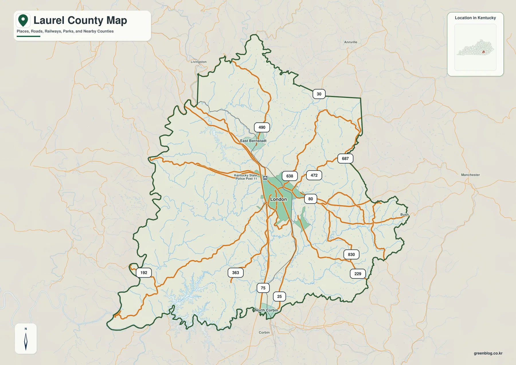
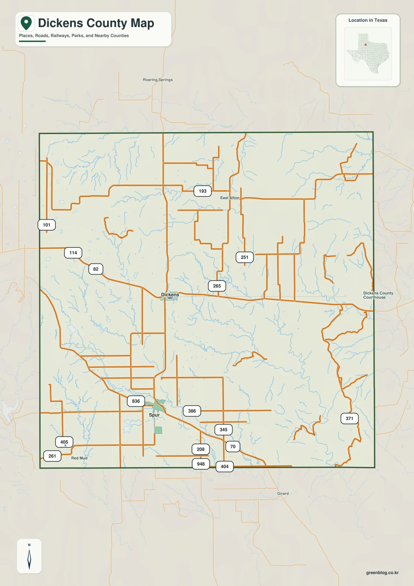
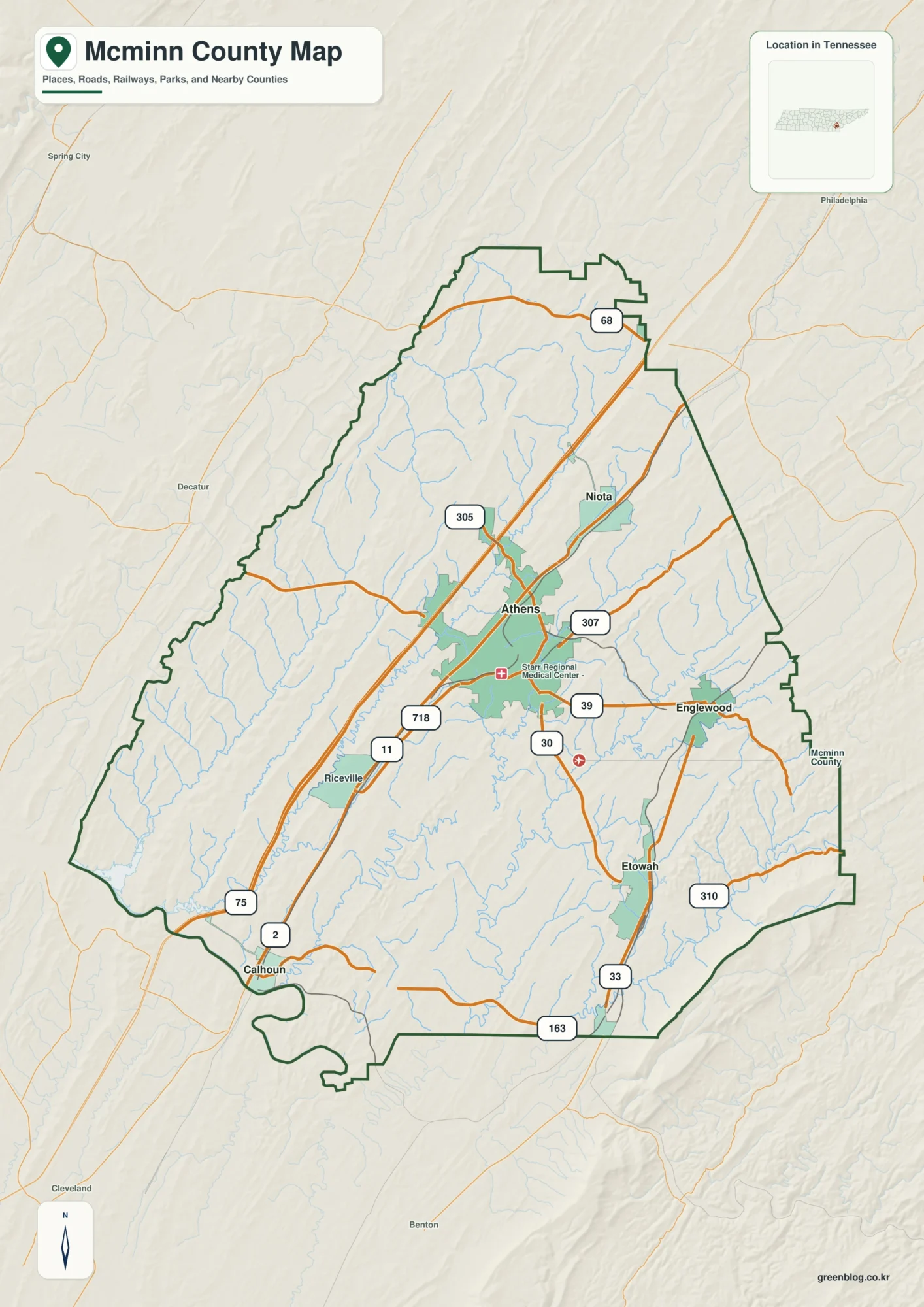
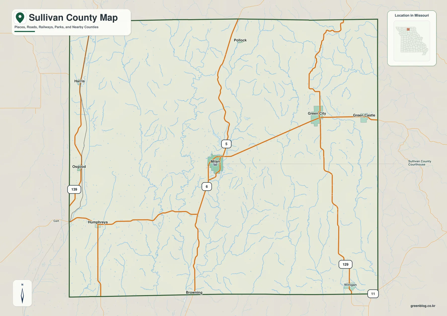
A Gallia County map is easiest to orient from the Ohio River. Gallipolis, the county seat, sits on the eastern riverfront, while Rio Grande and Vinton lie inland to the northwest, Cheshire occupies a separate river position farther north, and Crown City marks the southern part of the county. U.S. 35 approaches Gallipolis from the west, and State Route 7 follows the river side for much of the county, giving the map a clear first set of landmarks.
This page provides four views of the same county: a general road-and-place map, a simplified community map, a terrain-and-water view, and an elevation map. The WebP images are sized for quick reading on the page, while the matching high-resolution JPG files are packaged in one ZIP for download. A useful way to explore them is to begin with Gallipolis and the river, then move inland toward Rio Grande, Vinton, Tycoon Lake, and the broken hill country farther south.
Gallia County is not simply a flat strip beside a major river. Stream valleys cut through a dense pattern of short ridges, and the elevation surface ranges from about 158 to 317 meters, with a mapped mean near 223 meters. Lower ground follows the Ohio River and many tributary valleys, while higher terrain appears repeatedly in the west, southwest, north, and parts of the east. That mixture of river lowlands and Appalachian hill country explains much of the county’s visual character.
Table of Contents
Gallipolis, the Ohio River, and the road network
Gallipolis is the strongest anchor on the general map because it combines a major place name, the county seat, the Ohio River, and several important roads in one small area. U.S. 35 reaches the river near Gallipolis, while State Route 7 follows the eastern edge along the river. Kanauga appears immediately north of town, Cheshire sits much farther upstream, and Crown City is located well to the south. The curved county outline on the east therefore makes sense once the river is recognized as the defining boundary.
Moving inland, State Route 160 runs toward Bidwell and connects the Gallipolis area with the interior. Routes 850 and 588 add links across the central part of the county, while Rio Grande is positioned northwest of Gallipolis near the 325 and 554 corridors. Vinton is farther north and works as a landmark for the upper interior. In the western and southwestern sections, routes such as 233 and 141 cross a much more irregular county outline and help locate communities that are far from the riverfront.
The southern map is a useful reminder that the river road is only one part of local travel. State Route 7 continues along the Ohio River, but inland routes 790, 553, 218, and 775 pass through hillier terrain and connect the southern interior to the river side. The map is not intended to show every county or township road, yet it gives enough detail to compare the main east-west approach to Gallipolis with the smaller routes that serve the ridges and valleys away from the river.

River towns and inland communities are widely separated
The simplified community map removes most road labels and makes settlement spacing much easier to see. Gallipolis is the largest of the six selected places and occupies the eastern river side. Cheshire is also on the Ohio River but is isolated farther north, while Crown City lies near the southern end of the county. These three river communities do not form a continuous urban strip; long rural stretches and steep-sided tributary valleys remain between them.
Rio Grande and Vinton form a different pair because they are inland. Rio Grande sits northwest of Gallipolis and is an important local reference point for the surrounding rural area. Vinton lies still farther north, helping divide the broad northern interior into a more understandable set of locations. Centerville, also labeled Thurman on the map, is close to the western county edge. The six places together show why a county-wide address can refer to very different surroundings depending on whether it is near the river, the central hills, or the western boundary.
The numbered labels on this image rank the selected communities, but they should not be treated as a complete list of every village, unincorporated place, postal locality, or legal municipal boundary in Gallia County. For school districts, tax parcels, emergency service areas, or exact jurisdiction, current local government records are necessary. The community map is best used for relative position: which major place is closest, which side of the county a location falls on, and how far the river communities are from the inland centers.

Tributary valleys and Tycoon Lake reshape the county
The terrain-and-water map gives Gallia County a very different appearance. The Ohio River remains the dominant water feature, tracing the eastern and southeastern edge of the county, but dozens of tributaries divide the interior. Kyger Creek and Campaign Creek stand out in the northeast, while Chickamauga Creek reaches the river near the central-eastern section. These channels are accompanied by many smaller branches that follow narrow valleys between the ridges.
Farther west and south, the map labels Little Raccoon Creek, Cheshire Creek, Rocky Fork, Symmes Creek, Raccoon Creek, and Clear Fork. Near the southern end, Indian Guyan Creek and Swan Creek continue toward the Ohio River. The density of these names matters because it explains why the landscape feels much more broken than the road map alone suggests. Roads can appear to cross the county in a relatively simple network, but the terrain underneath is repeatedly cut by small drainage valleys.
Tycoon Lake is the most obvious inland body of standing water on the supplied map. It lies in the northwestern interior, northeast of Rio Grande. The Gallia County Convention and Visitor’s Bureau also identifies Tycoon Lake State Wildlife Area as a local outdoor destination between State Routes 325 and 554. On the map it works as both a natural landmark and a way to orient the upper interior. This image is only a geographic reference, however, not a floodplain, navigation, depth, property, or regulatory map.

From river lowlands to 300-meter ridges
The elevation map reports an actual range of about 158 to 317 meters and a mean near 223 meters. Green tones are concentrated along the Ohio River and in many of the larger stream valleys, including the low corridors that reach inland from the river. Browns and tan colors become more common on ridges in the west, southwest, north, and eastern hill areas. There is no single mountain mass; instead, higher and lower ground repeat across the county at short intervals.
The southwest is especially rugged in appearance, with tightly spaced ridges and valleys creating frequent changes in color. Similar ridge patterns continue across the southern interior and appear again in the north and northeast. Around Tycoon Lake and along the larger creek valleys, the green lowlands become broader. When the water and elevation maps are viewed together, the relationship is intuitive: many of the named creeks occupy the lower corridors between more elevated hilltops.
These colors are a generalized way to compare terrain across the whole county. They are useful for explaining why routes bend through valleys or why a location near the Ohio River sits lower than many interior ridges, but they are not survey-grade elevations. Construction, drainage design, engineering, or precise property work should rely on current USGS source data, professional surveys, and site-specific measurements rather than a county-wide visualization.

French Gallipolis and the inland role of Rio Grande
The riverfront pattern also has a historical explanation. Gallia County’s official website describes the French settlers who established Gallipolis in 1790 and explains the name as the “City of the Gauls.” Gallia County itself was organized in 1803, the year Ohio became a state. The modern general map still places Gallipolis exactly where that early settlement story would lead a reader to expect: on the Ohio River, with the river serving as both transportation corridor and county edge.
Rio Grande adds an inland counterpoint. The county visitor bureau lists Bob Evans Farm on State Route 588 in Rio Grande and highlights nearby outdoor attractions and trails. Finding Route 588 and Rio Grande on the general map turns that tourism reference into a geographic one, showing how far the area lies from the Ohio River and how it connects back toward Gallipolis. It is a useful example of why the county cannot be understood only as a string of river towns.
U.S. Census Bureau QuickFacts lists 29,220 residents in the 2020 census and a July 1, 2025 estimate of 29,072. The county has 466.53 square miles of land and a 2020 density of 62.6 people per square mile. Those figures fit the visual impression of the community map: a small set of recognizable towns and villages separated by extensive rural land, wooded hills, farms, creek valleys, and roads that connect places rather than merge them into one large urban area.
Which map works best for each task?
For a first look, the general county map is the most complete choice because roads, place names, the boundary, and selected water features appear together. It works well when a reader needs to find Gallipolis, trace U.S. 35, follow State Route 7 along the river, and then locate Rio Grande or Vinton inland. The simplified community map is better when the point is settlement spacing rather than navigation, especially for comparing river towns with the northwestern interior.
The water map is the strongest choice for natural geography. It brings the Ohio River, Tycoon Lake, Campaign Creek, Raccoon Creek, Indian Guyan Creek, and many smaller tributaries into the foreground, making the county’s valley network much easier to explain. The elevation map answers a different question by showing where the low valleys and higher ridges occur. It is particularly useful for classroom or presentation material that needs to explain why southeastern Ohio looks and travels differently from the flatter parts of the state.
The four images are designed to complement one another rather than replace official engineering or legal mapping. For printing, the original-size JPG files in the ZIP will usually be preferable to the page WebP versions. For reports or slides, the images can be cropped to a relevant area, but labels should not be interpreted as parcel lines, flood limits, surveyed elevations, or complete road inventories. The strongest use is as an accessible county reference that can be paired with current official data when more precision is needed.
Frequently Asked Questions
Why is the eastern county boundary so curved?
Much of the eastern and southeastern edge follows the Ohio River. Because the river bends, the county line bends with it rather than forming a straight survey line. Gallipolis, Cheshire, and Crown City are all positioned along different parts of this river side, which makes the river the easiest feature to use when orienting the eastern half of Gallia County.
What is the main elevation difference shown on the map?
The Ohio River and major creek valleys are generally lower, while higher ridges are repeated through the western, southern, northern, and eastern interior. The map reports an actual county range of about 158–317 meters. It is appropriate for comparing terrain at county scale, but not for determining an exact elevation at a house, road point, construction site, or parcel.
Where is Tycoon Lake in relation to Rio Grande?
Tycoon Lake is in the northwestern interior of the county, northeast of Rio Grande. It is easiest to recognize on the terrain-and-water map, where it stands out from the surrounding stream network. The local visitor bureau also places the Tycoon Lake State Wildlife Area between State Routes 325 and 554, providing a practical road reference for visitors.
Map File Information
The ZIP contains high-resolution JPG files for the general county map, community distribution, terrain and water, and elevation.
- File Type: JPG
Related Maps
Sources and references
- U.S. Census Bureau QuickFacts: Gallia County, Ohio — population, land area, and density
- Gallia County official website — county and Gallipolis history
- Gallia County Convention & Visitor’s Bureau trails and outdoor guide — Tycoon Lake and local recreation references
- USGS 3D Elevation Program — authoritative elevation data reference
Green Map creates custom-edited map images using open geographic data sources such as geoBoundaries, Natural Earth, OpenStreetMap, and government open data. These maps are edited visual materials, not raw data files, and are provided for education, documents, presentations, and graphic reference.